
 | ||
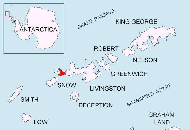
Devils Point is a point marking the southwest extremity of Byers Peninsula, Livingston Island in the South Shetland Islands, Antarctica and forming the southeast side of the entrance to Osogovo Bay and the west side of the entrance to Raskuporis Cove. The point is separated from Vardim Rocks to the south by Hell Gates, and surmounted to the northeast by Lucifer Crags, a rocky bluff rising to 81 m at the south extremity of President Beaches. The area was visited by early 19th century sealers.
Contents
The point was charted and named by James Weddell, Royal Navy, Master of the brig Jane, during the period 1820–23.
Location
The point is located at 62°40′15.9″S 61°10′57.3″W which is 6.22 km north of President Head, Snow Island, 6.33 km east-southeast of Benson Point, Rugged Island and 16.8 km west by north of Elephant Point. British mapping in 1968, detailed Spanish mapping in 1992, and Bulgarian mapping in 2005 and 2009.