
Chinese 松花江 Chinese 海西 Manchu script ᡠᠩᡤᠠᡵᡳ ᡠᠯᠠ Length 1,434 km Basin area 212,000 km² Mouth Amur River | Hanyu Pinyin Hanyu Pinyin Romanization Sunggari Ula Discharge 2,470 m³/s | |
 | ||
Bridges Harbin Songhuajiang Highway Bridge | ||
Northernmost china s harbin holds fascinating light show over songhua river starting on jan 4
The Songhua River (also Haixi or Xingal, formerly Sunggari) is one of the primary rivers of China, and the largest tributary of the Amur River. It flows about 1,434 kilometres (891 mi) from the Changbai Mountains on the China–North Korea border through China's northeastern Jilin and Heilongjiang provinces. The river drains 1,443,100 square kilometres (557,180 sq mi) of land, and has an annual discharge of 2,463 cubic metres per second (87,000 cu ft/s).
Contents
- Northernmost china s harbin holds fascinating light show over songhua river starting on jan 4
- Map of Songhua River China
- China swimming in the frozen songhua river
- Geography
- History
- References
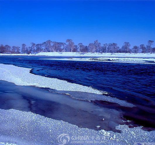
Map of Songhua River, China
The extreme flatness of the Northeast China Plain has caused the river to meander widely over time. The result of the meandering is that the river is surrounded by a wide plain that is filled with swirls and curves, showing paths the river once took.
China swimming in the frozen songhua river
Geography
As the Second Songhua River, it joins the Amur at Tongjiang, Heilongjiang. It is then interrupted by the Baishan, Hongshi and Fengman dams, which are used for hydroelectricity production. Fengman Dam forms a lake that stretches 62 kilometres (39 mi) upstream. Below the dam, the Second Songhua flows northwest until its largest tributary, the Nen River, joins it near Da'an and creates the Songhua. The Nen River drains the Songnen Plain. The river travels east until it joins the Hulan River near Harbin. Nearby it is also joined by the Ashi, which gave its name to the Jurchen Jin Dynasty (12th–13th century). Then it passes between the northern end of the eastern Manchurian mountain system and the Lesser Xing'an Range. The river then flows into the Amur River (Heilong Jiang) valley. The river freezes from late November until March. It has its highest flows when the mountain snow melts during the spring thaw. The river is navigable up to Harbin by medium-sized ships. Smaller craft can navigate the Songhua up to Jilin and the Nen River up to Qiqihar.
Cities along the river include:
History
In November 2005, the river was contaminated with benzene, leading to a shutdown of Harbin's water supply. The spill stretched 80 kilometres (50 mi) and eventually reached the Amur (Heilong) River on the China–Russia border. On July 28, 2010, several thousand barrels were washed away by floods from two chemical plants in China's Jilin City. Some of them contained 170 kilograms (370 lb) of explosive material like trimethylsilyl chloride and hexamethyldisiloxane. In 2016, the part near the city of Jilin was affected by a minor flood.