
Country United States Elevation 169 m Local time Tuesday 5:41 AM | GNIS feature ID 0453876 Area 94.97 km² Population 8,447 (2000) | |
 | ||
Weather 13°C, Wind N at 13 km/h, 87% Humidity | ||
Stockton Township is one of fifteen townships in Greene County, Indiana, USA. As of the 2010 census, its population was 8,447.
Contents
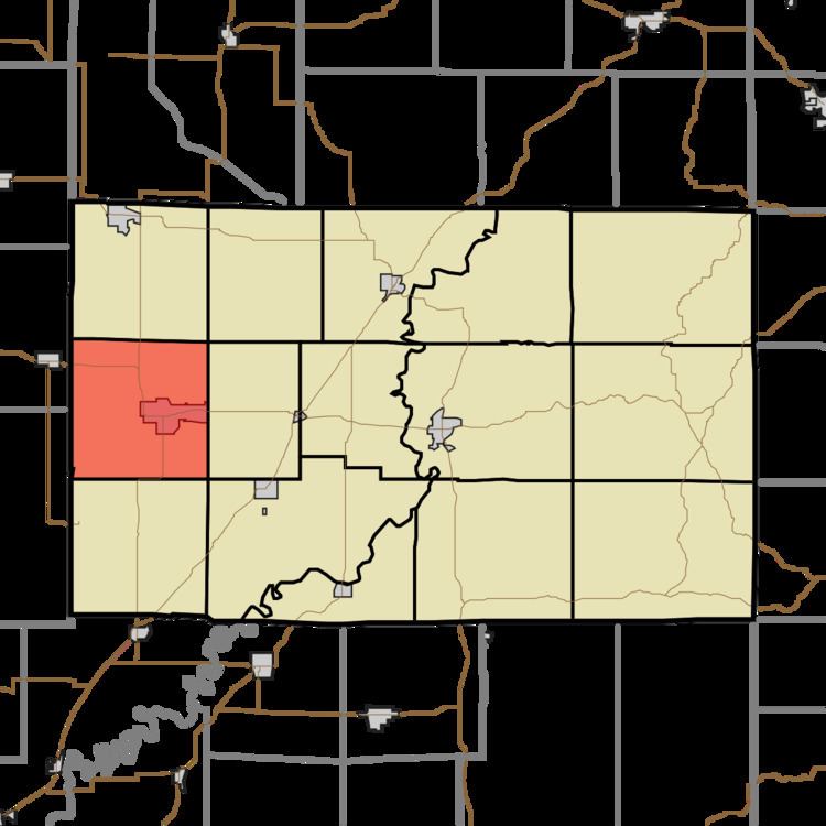
- Map of Stockton Township IN USA
- Geography
- Cities and towns
- Unincorporated towns
- Adjacent townships
- Cemeteries
- Major highways
- References
Map of Stockton Township, IN, USA
Geography
According to the 2010 census, the township has a total area of 36.67 square miles (95.0 km2), of which 36.06 square miles (93.4 km2) (or 98.34%) is land and 0.62 square miles (1.6 km2) (or 1.69%) is water. Lakes in this township include Boy Scout Pond. The stream of Willow Slough runs through this township.
Cities and towns
Unincorporated towns
(This list is based on USGS data and may include former settlements.)
Adjacent townships
Cemeteries
The township contains six cemeteries: Clayton, Fairview, German, Island City, Old Linton and Richards.
Major highways
References
Stockton Township, Greene County, Indiana Wikipedia(Text) CC BY-SA