
Country United States Elevation 193 m Local time Thursday 5:41 AM | GNIS feature ID 0454065 Area 93.71 km² Population 3,921 (2010) | |
 | ||
Weather 4°C, Wind NW at 27 km/h, 89% Humidity | ||
Wright Township is one of fifteen townships in Greene County, Indiana, USA. As of the 2010 census, its population was 3,921.
Contents
- Map of Wright Township IN USA
- History
- Geography
- Cities and towns
- Unincorporated towns
- Adjacent townships
- Cemeteries
- Major highways
- Airports and landing strips
- References
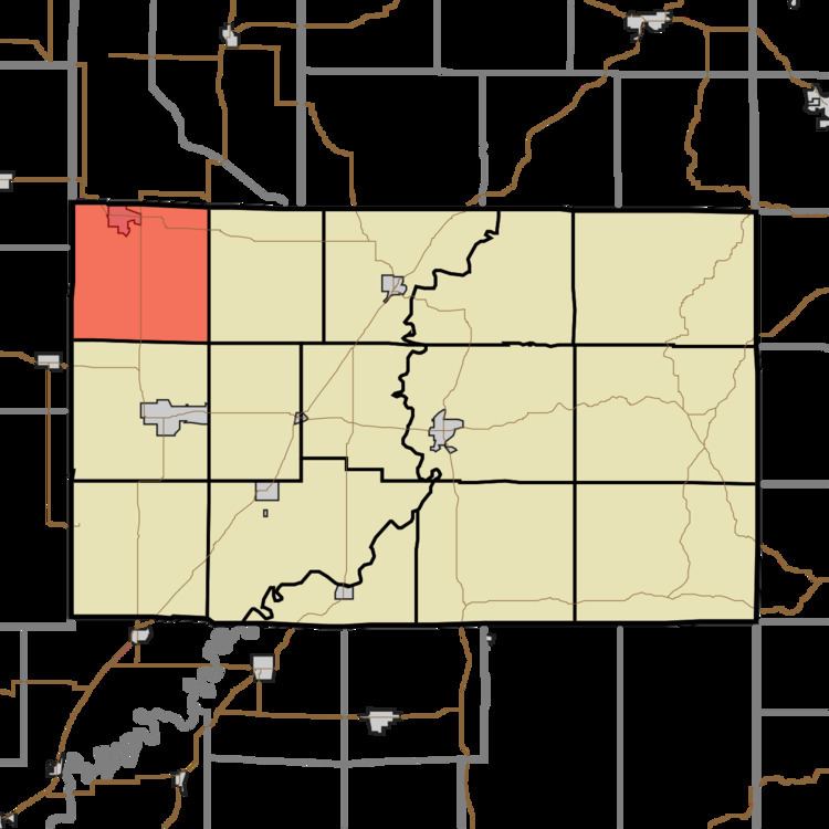
Map of Wright Township, IN, USA
History
The Shakamak State Park Historic District was listed on the National Register of Historic Places in 2000.
Geography
According to the 2010 census, the township has a total area of 36.18 square miles (93.7 km2), of which 35.68 square miles (92.4 km2) (or 98.62%) is land and 0.5 square miles (1.3 km2) (or 1.38%) is water.
Cities and towns
Unincorporated towns
(This list is based on USGS data and may include former settlements.)
Adjacent townships
Cemeteries
The township contains three cemeteries: Bethel, Frye and Terhune.
Major highways
Airports and landing strips
References
Wright Township, Greene County, Indiana Wikipedia(Text) CC BY-SA