
Car plates BSI Population 48,603 (2006) | Area 1,460 km² | |
 | ||
Gminas Total 9 (incl. 1 urban)SiemiatyczeGmina DrohiczynGmina DziadkowiceGmina GrodziskGmina MielnikGmina MilejczyceGmina Nurzec-StacjaGmina PerlejewoGmina Siemiatycze Points of interest Grabarkos Šv Mortos ir Marijos, Góra Zamkowa, Podlaski Ogród Ziołowy, Muzeum Diecezjalne, Taras Widokowy ‑ Mielnik | ||
Siemiatycze County (Polish: powiat siemiatycki) is a unit of territorial administration and local government (powiat) in Podlaskie Voivodeship, north-eastern Poland, on the border with Belarus. It came into being on January 1, 1999, as a result of the Polish local government reforms passed in 1998. Its administrative seat and largest town is Siemiatycze, which lies 80 kilometres (50 mi) south of the regional capital Białystok. The only other town in the county is Drohiczyn, lying 15 km (9 mi) west of Siemiatycze.
Contents
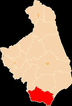
Map of Siemiatycze County, Poland
The county covers an area of 1,459.58 square kilometres (563.5 sq mi). As of 2006 its total population is 48,603, out of which the population of Siemiatycze is 15,169, that of Drohiczyn is 2,086, and the rural population is 31,348.
Neighbouring counties
Siemiatycze County is bordered by Biała Podlaska County and Łosice County to the south, Siedlce County to the south-west, Sokołów County to the west, Wysokie Mazowieckie County and Bielsk County to the north, and Hajnówka County to the north-east. It also borders Belarus to the east.
Administrative division
The county is subdivided into nine gminas (one urban, one urban-rural and seven rural). These are listed in the following table, in descending order of population.