
Car plates WSK | Area 1,131 km² | |
 | ||
Gminas Total 9 (incl. 1 urban)Sokołów PodlaskiGmina BielanyGmina CeranówGmina Jabłonna LackaGmina Kosów LackiGmina RepkiGmina SabnieGmina Sokołów PodlaskiGmina Sterdyń Website | ||
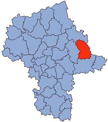
Sokołów County (Polish: powiat sokołowski) is a unit of territorial administration and local government (powiat) in Masovian Voivodeship, east-central Poland. It came into being on January 1, 1999, as a result of the Polish local government reforms passed in 1998. Its administrative seat and largest town is Sokołów Podlaski, which lies 88 kilometres (55 mi) east of Warsaw. The only other town in the county is Kosów Lacki, lying 23 km (14 mi) north of Sokołów Podlaski.
Contents
Map of Soko%C5%82%C3%B3w County, Poland
The county covers an area of 1,131.42 square kilometres (436.84 sq mi). As of 2006 its total population is 56,823, out of which the population of Sokołów Podlaski is 18,419, that of Kosów Lacki is 2,135, and the rural population is 36,269.
Neighbouring counties
Sokołów County is bordered by Ostrów Mazowiecka County and Wysokie Mazowieckie County to the north, Siemiatycze County to the east, Siedlce County to the south, and Węgrów County to the west.
Administrative division
The county is subdivided into nine gminas (one urban, one urban-rural and seven rural). These are listed in the following table, in descending order of population.