
Car plates BHA Population 48,130 (2006) | Area 1,624 km² | |
 | ||
Gminas Total 9 (incl. 1 urban)HajnówkaGmina BiałowieżaGmina CzeremchaGmina CzyżeGmina Dubicze CerkiewneGmina HajnówkaGmina KleszczeleGmina NarewGmina Narewka Points of interest Białowieża Forest, Białowieża National Park, Rezerwat Pokazowy Żubrów, Muzeum Przyrodniczo‑Leśne Białowies, The Grodno Governor Destinations Białowieża Forest, Białowieża, Białowieża National Park, Hajnówka, Siemianowka reservoir | ||
Hajnówka County (Polish: powiat hajnowski) is a unit of territorial administration and local government (powiat) in Podlaskie Voivodeship, north-eastern Poland, on the border with Belarus. It came into being on January 1, 1999, as a result of the Polish local government reforms passed in 1998. Its administrative seat and largest town is Hajnówka, which lies 51 kilometres (32 mi) south-east of the regional capital Białystok. The only other town in the county is Kleszczele, lying 25 km (16 mi) south-west of Hajnówka.
Contents
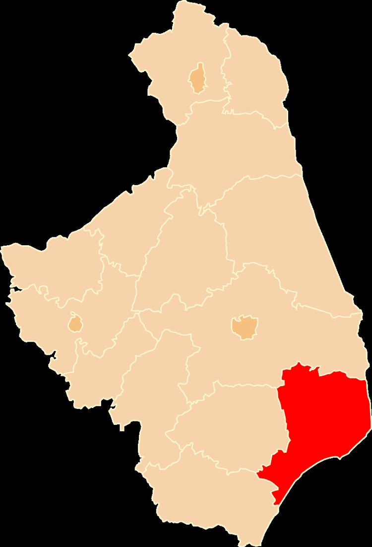
Map of Hajn%C3%B3wka County, Poland
The county covers an area of 1,623.65 square kilometres (626.9 sq mi). As of 2006 its total population is 48,130, out of which the population of Hajnówka is 22,072, that of Kleszczele is 1,432, and the rural population is 24,626.
Neighbouring counties
Hajnówka County is bordered by Siemiatycze County to the south-west, Bielsk County to the west and Białystok County to the north. It also borders Belarus to the east.
Administrative division
The county is subdivided into nine gminas (one urban, one urban-rural and seven rural). These are listed in the following table, in descending order of population.