
Established 1921 Founded 1921 | Postcode(s) 6367 Elevation 306 m Postal code 6367 | |
 | ||
Weather 21°C, Wind NE at 6 km/h, 65% Humidity | ||
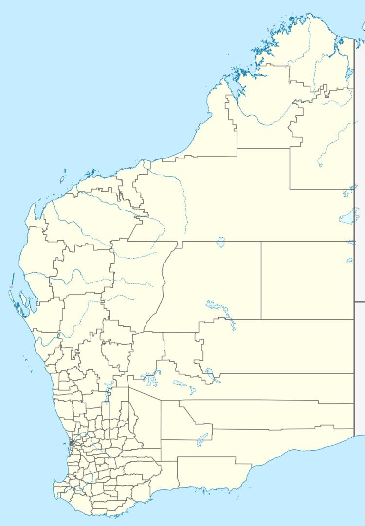
Bendering is a town located between Kondinin and Narembeen in the eastern Wheatbelt region of Western Australia.
The town was gazetted in 1921. The name of the town is taken from a nearby spring and is Aboriginal in origin, its meaning is unknown.
The surrounding areas produce wheat and other cereal crops. The town is a receival site for Cooperative Bulk Handling.
References
Bendering, Western Australia Wikipedia(Text) CC BY-SA