
Population 1,085 (2013 est) Shire President Robert Lester Founded 1982 | Established 1982 Area 6,507 km² | |
 | ||
Points of interest Wellstead Museum, Back Beach | ||
The Shire of Jerramungup is a local government area in the Great Southern region of Western Australia, about 180 kilometres (112 mi) northeast of Albany and about 440 kilometres (273 mi) southeast of the state capital, Perth. The Shire covers an area of 6,507 square kilometres (2,512 sq mi), and its seat of government is the town of Jerramungup.
Contents
Map of Jerramungup, WA, Australia
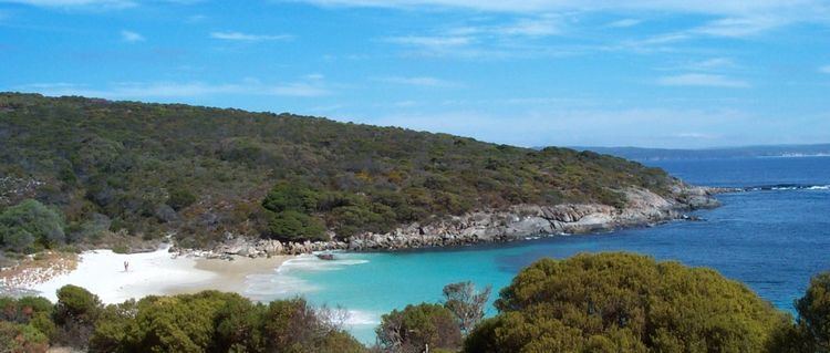
The Fitzgerald River National Park, which is within the Shire, covers an area of 329,039 hectares (1,270 sq mi), making it one of the largest national parks in Australia. The park is one of the most diverse botanical regions in the world, containing 20% of Western Australia's described plant species - more than 1,800 in total.
History
The Shire of Jerramungup was established on 1 July 1982. It previously comprised the eastern half of the Shire of Gnowangerup.
Wards
As of the 2003 elections, the shire is not divided into wards, and its 7 councillors sit at large.