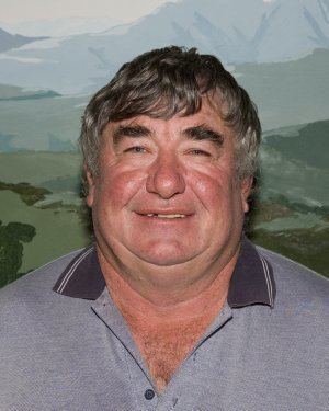
Population 2,288 (2013 est) Area 13,551 km² | President Keith Dunlop State electorate(s) Eyre | |
 | ||
Points of interest East Mount Barren, Culham Inlet, Point Ann | ||
Welcome to the shire of ravensthorpe
The Shire of Ravensthorpe is a local government area in the southern Goldfields-Esperance region of Western Australia, about halfway between the city of Albany and the town of Esperance and about 530 kilometres (329 mi) southeast of the state capital, Perth. The Shire covers an area of 13,551 square kilometres (5,232 sq mi), and its seat of government is the town of Ravensthorpe.
Contents
- Welcome to the shire of ravensthorpe
- Map of Ravensthorpe WA Australia
- Welcome to the shire of ravensthorpe extended
- History
- Wards
- Towns and localities
- References
Map of Ravensthorpe, WA, Australia
Welcome to the shire of ravensthorpe extended
History
The Phillips River Road District was gazetted in 1900. On 1 July 1961, it changed name to Ravensthorpe and became a shire under the Local Government Act 1960.
Wards
As of the 2003 election, the Shire is divided into three wards:
Towns and localities
References
Shire of Ravensthorpe Wikipedia(Text) CC BY-SA
