
Population 1,271 (2011) President Keith House Area 4,268 km² | Established 1912 State electorate(s) Wagin Founded 1912 | |
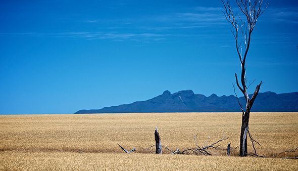 | ||
Points of interest Bluff Knoll, Stirling Range National, Toolbrunup, Yongergnow Australian Malleefo | ||
The Shire of Gnowangerup is a local government area in the Great Southern region of Western Australia, about 120 kilometres (75 mi) north of Albany and about 370 kilometres (230 mi) southeast of the capital, Perth. The Shire covers an area of 4,268 square kilometres (1,648 sq mi), and its seat of government is the town of Gnowangerup.
Contents
Map of Gnowangerup, WA, Australia
History
Gnowangerup was initially gazetted as a road district on 26 January 1912, taking in sections of Broomehill and Tambellup. On 23 June 1961, it became a shire following changes to the Local Government Act. On 4 June 1982 the eastern half of the Gnowangerup shire was excised to form the Shire of Jerramungup.
Wards
In 1999 the Shire was divided into four wards:
Since 2007, when the ward system was discontinued, all councillors have been elected at large from the Gnowangerup district.
The Shire President is chosen from amongst the councillors.