Population 170 (2006 census) Postcode(s) 6338 Elevation 133 m Postal code 6338 | Established 1963 State electorate(s) Wagin Founded 1963 Local time Friday 11:11 PM | |
 | ||
Weather 19°C, Wind SW at 14 km/h, 92% Humidity | ||
Boxwood Hill is a locality in the Great Southern Region of Western Australia, situated at the intersection of the South Coast Highway and the Borden-Bremer Bay Road. The townsite was gazetted in 1963, named after a local shrub, Microcorys sp. Boxwood.
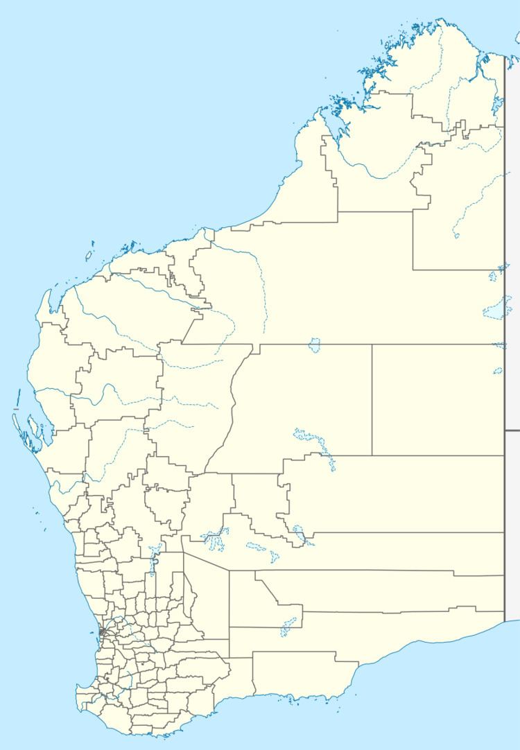
Map of Boxwood Hill WA 6338, Australia
The town itself is composed of only a roadhouse and three houses, but is best known for its excellent sporting facilities. The sports club, which has facilities for football, netball, hockey, cricket and tennis and is known to host over 200 people to sporting events.
References
Boxwood Hill, Western Australia Wikipedia(Text) CC BY-SA
