
Established 1972 Area 379,571 km² Population 6,732 (2001) | Shire of East Pilbara Founded 1972 Mayor Lynne Craigie | |
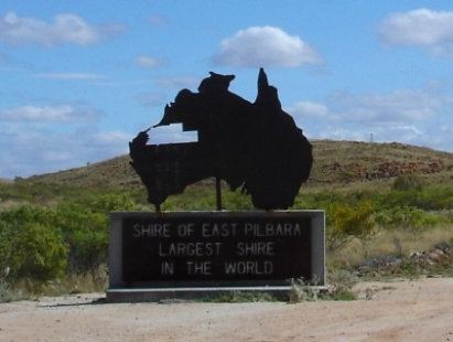 | ||
The Shire of East Pilbara is one of the four local government areas in the Pilbara region of Western Australia, and with an area close to 380,000 square kilometres (147,000 sq mi), is the third largest municipality in the world, after two new municipalities in Greenland (Qaasuitsup and Sermersooq, with each around 650,000 km2). The municipality is bigger than many countries, for example Finland. The Shire's seat of government, and home to slightly over half the Shire's population, is the town of Newman in the shire's south-west.
Contents
Map of East Pilbara, WA, Australia
History
The Shire has its origin in two early road districts: Bamboo, established in 1896 and renamed Marble Bar in 1904; and Nullagine, established in 1898. On 1 July 1961, both became shires under the Local Government Act 1960.
On 27 May 1972 the two merged to form the Shire of East Pilbara.
Wards
The Shire is divided into six wards, most with one councillor: