
PIN 582210 Local time Saturday 6:06 PM | Time zone IST (UTC+5:30) Vehicle registration KA-26 Area code 08487 | |
 | ||
Weather 32°C, Wind W at 14 km/h, 48% Humidity | ||
Shigli (Kannada: ಶಿಗ್ಲಿ ) is a City in the southern state of Karnataka, India. Shigli is located in the Shirhatti taluk of Gadag district in Karnataka. It belongs to Belgaum Division. It is located 52 km to the south of District headquarters Gadag. 26 km from Shirhatti. 382 km from State capital Bangalore Shigli's Pin code is 582210 and postal head office is Shigli.
Contents
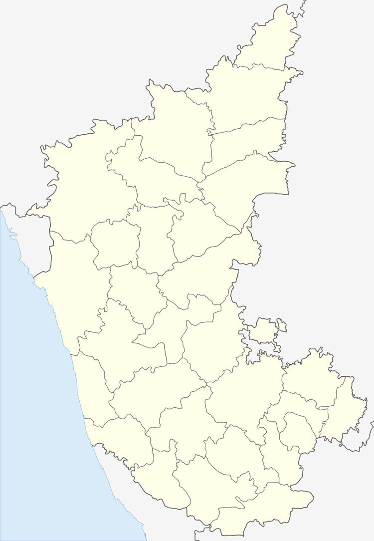
- Map of Shigli Karnataka 582210
- How To Reach Shigli
- Demographics
- Schools and Colleges in Shigli
- Nearby tourist places
- Nearby districts
- Nearby railway stations
- Nearby airports
- References
Map of Shigli, Karnataka 582210
Lakshmeshwar, Savanur, Shiggaon, Gadag are the nearby Cities to Shigli.
How To Reach Shigli
By Rail Yalvigi Railway Station, Kalas Halt Railway Station are the very nearby railway stations to Shigli. However Hubli Jn Railway Station is major railway station 52 km near to Shigli.
Demographics
Total area of Shigli is 827 hectares. 663 meters Above Seal level. Kannada is the Local Language here. As of 2001 India census, Shigli had a population of 10,111 with 5,054 males and 5,057 females and 1,866 Households.
Schools and Colleges in Shigli
Nearby tourist places
Nearby districts
Nearby railway stations
Nearby airports
Hubli Airport 59 km near Sambre Airport 142 km near Dabolim Airport 200 km near Kolhapur Airport 242 km near