Country Language spoken Area 10.9 km2 | State District | |
Points of interest Badami cave temples, Mahakuta group of temples, Bhutanatha group of temples - Badami | ||
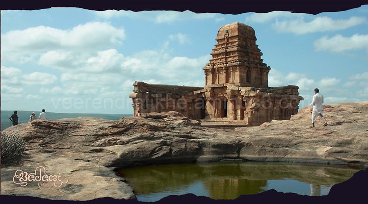
Badami formerly known as Vatapi, is a town and headquarters of a taluk by the same name, in the Bagalkot district of Karnataka, India. It was the regal capital of the Badami Chalukyas from 540 to 757 AD. It is famous for rock cut and other structural temples. It is located in a ravine at the foot of a rugged, red sandstone outcrop that surrounds Agastya lake.
Contents
- Map of Badami
- Badami karnataka india
- Badami caves bagalkot district
- History
- Tourism
- Culture
- Geography
- Economy
- References
Map of Badami
Badami karnataka india
Badami caves bagalkot district
History
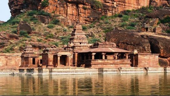
Tourism
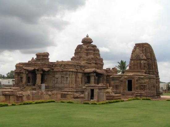
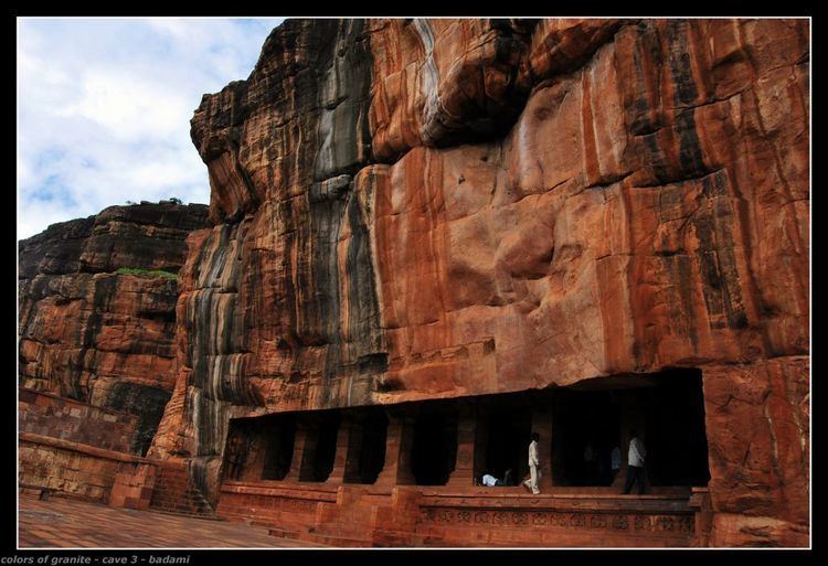
Landmarks in Badami include cave temples, gateways, forts, inscriptions and sculptures.
the lake, constructed in 5th century.
Culture
The main language is Kannada. The local population wears traditional Indian cotton wear.
Geography
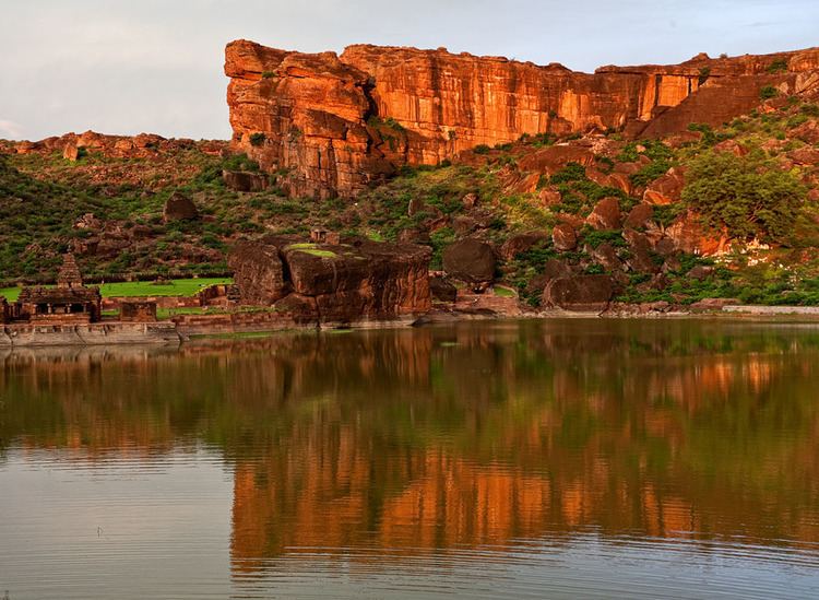
Badami is located at 15.92°N 75.68°E? / 15.92; 75.68. It has an average elevation of 586 metres (1922 ft). It is located at the mouth of a ravine between two rocky hills and surrounds Agastya tirtha water reservoir on the three other sides. The total area of the town is 10.3 square kilometers.
It is located 30 kilometers from Bagalkot,128 kilometers from Bijapur, 132 kilometers from Hubli, 46 kilometers from Aihole, another ancient town, and 589 kilometers from Bangalore, the state capital.
Economy
The main economy is centered around karnataka tourism.
