
Population 4,225 (2011 census) Time zone ACST (UTC+9:30) Mean max temp Mean min temp | Postcode(s) 5019 Postal code 5019 | |
 | ||
Location 13 km (8 mi) north-west of Adelaide city centre | ||
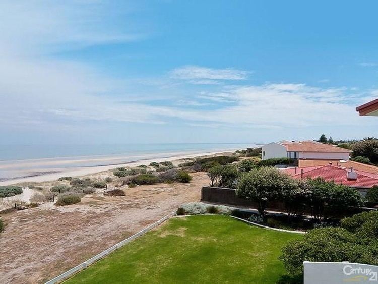
Semaphore Park is a suburb in the Australian state of South Australia located in the west of Adelaide on the coastline of Gulf St Vincent. The northern end of the suburb is considered to be located within the Lefevre Peninsula.
Map of Semaphore Park SA 5019, Australia
Semaphore Park originally started as a private sub-division in Section 64 in the cadastral unit of the Hundred of Yatala under the names of New Liverpool and Mellor Park. Portions were added to the suburb of West Lakes Shore in October 2002 and October 2004 while in July 2007, land was removed from Semaphore Park and the suburbs of Birkenhead, Ethelton and Glanville to “create the new suburb of New Port”.
Glanville Blocks Post Office opened on 1 September 1896, was renamed Semaphore Park in 1947 and was replaced by the West Lakes Shore office in 1997.
The Fort Glanville Conservation Park is located within the boundaries of Semaphore Park.
Semaphore Park is located within the federal division of Hindmarsh, the state electoral district of Lee and the local government area of the City of Charles Sturt.