
Established 29 October 1846 Hundred of Yatala Hundred of Talunga | Founded 29 October 1846 | |
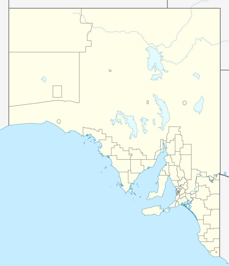 | ||
The Hundred of Yatala is a cadastral unit of hundred covering much of the Adelaide metropolitan area north of the River Torrens and south of the Little Para River in South Australia. It is one of the eleven hundreds of the County of Adelaide. It was named in 1846 by Governor Frederick Robe, Yatala being a word from the Weira group of the Kaurna Aboriginal people meaning water running by the side of a river. The word refers to the swampy morass occurring when heavy rains cross what is usually a dry plain. The name was used to describe a large portion of the Adelaide Plains between the Torrens and Little Para on either side of Dry Creek, which roughly bisects the hundred from east to west.
The following local government areas of South Australia are situated inside (or largely inside) the bounds of the Hundred of Yatala as of 2016:
Small portions of the Adelaide Hills Council area (west of Hurst, Paracombe and Lower Hermitage roads) and the City of Playford (west of Shillabeer Road) also overlap the far eastern portion of the Hundred of Yatala.
District council
The District Council of Yatala was established in 1853 with boundaries corresponding approximately to those of the hundred. Three large exceptions were the future Corporate Town of Port Adelaide, the land south west of the road to the port which was allocated to the District Council of Hindmarsh and land in the east of the hundred starting at the foothills of the Mount Lofty Ranges. As various parts of the original were separated — parts north of Dry Creek for Salisbury council and parts in the south for Walkerville and Prospect councils — the original name of 'Yatala' was obscured and finally lost (to local government) when the last remaining namesake, Yatala South council was renamed in 1935 to Enfield council, after the township at its centre.