
Demonym(s) Selbygg Area 1,235 km² Local time Sunday 10:40 PM | Area rank 79 in Norway Time zone CET (UTC+1) Population 4,004 (2010) | |
 | ||
Weather 3°C, Wind W at 6 km/h, 96% Humidity | ||
Morgen i selbu
Selbu is a municipality in Sør-Trøndelag county, Norway. The administrative centre of the municipality is the village of Mebonden. Other villages in Selbu include Flora, Fossan, Hyttbakken, Innbygda, Selbustrand, Tømra, and Vikvarvet.
Contents
- Morgen i selbu
- Map of 7580 Selbu Norway
- Toradergruppa fra selbu selbufestivalen 1994
- General information
- Name
- Coat of arms
- Churches
- Geography
- Transportation
- Economy
- References
Map of 7580 Selbu, Norway
Toradergruppa fra selbu selbufestivalen 1994
General information
The municipality (originally the parish) of Selbu was established on 1 January 1838 (see formannskapsdistrikt). On 1 January 1901, the eastern part of the municipality was separated to form the new municipality of Tydal. This left Selbu with 4,607 inhabitants. The borders of Selbu have not changed since then.
Name
The Old Norse form of the name was Selabú. The first element is the genitive case of the old name of the lake Selbusjøen (Old Norse: Seli). The last element is bú which means "district". (The old name of the lake is probably derived from the word seli which means "harness" since the lake is long and narrow.)
Coat-of-arms
The coat-of-arms is from modern times; they were adopted on 31 May 1991. The arms show a silver background with three black selburoses, designs which are typical for the patterns used in the local lusekofte (traditional Norwegian sweaters) and other woollen garments. Home knitting has been a long tradition in the municipality.
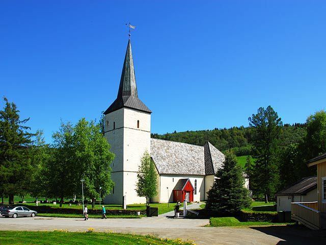
Churches
The Church of Norway has one parish (sokn) within the municipality of Selbu. It is part of the Deanery (prosti) of Stjørdal and the Diocese of Nidaros.
Geography
Selbu borders nine municipalities. The municipalities of Trondheim, Malvik, and Stjørdal are to the north; Meråker and Tydal are to the east; Tydal, Holtålen, and Midtre Gauldal are to the south; and Melhus and Klæbu are to the west.
The largest lake in Selbu is Selbusjøen with an area of 60 square kilometres (23 sq mi). It is located 160 metres (520 ft) above sea level. Another lake in the municipality is Sørungen. The highest mountain in Selbu is the 1,441-metre (4,728 ft) tall mountain Fongen, located inside Skarvan and Roltdalen National Park. The Nea River and Rotla River both flow through the municipality. The municipality covers a total of 1,254 square kilometres (484 sq mi) which consists of:
Transportation
The main road through Selbu is Rv705 (Stjørdal - Selbu - Tydal). Selbu is located near important destinations:
Economy
Traditionally, Selbu has been an agricultural and forest managing community. The area is well known for its special knitting techniques. The last decades have led to efforts in business such as high technology, electronics, and mechanics.