
- left Tomwool Creek - elevation 351 m (1,152 ft) - elevation 313 m (1,027 ft) | - location Lee Township | |
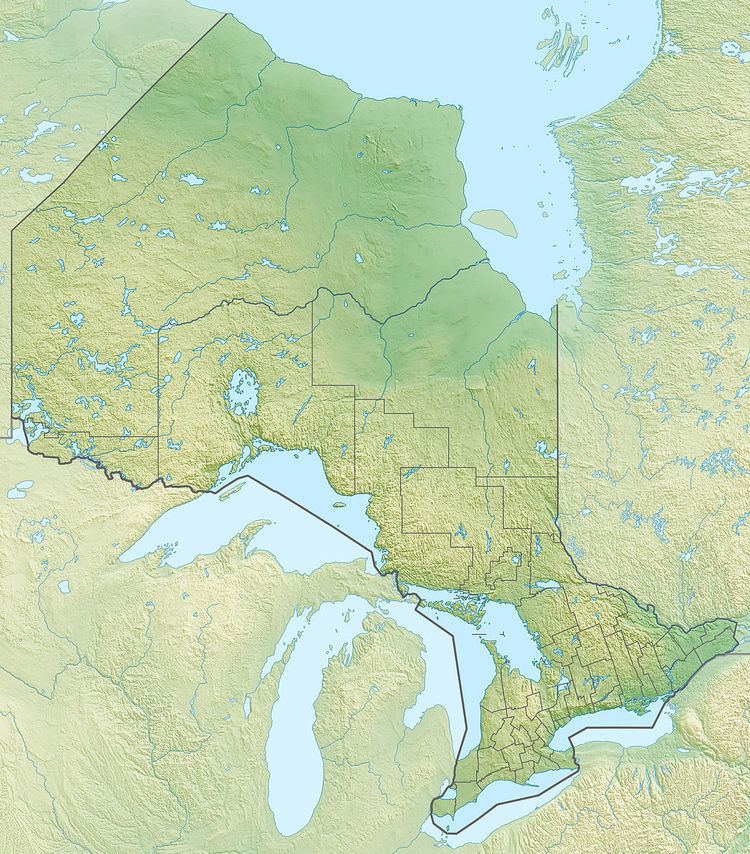 | ||
Sarsfield Creek is a creek in Timiskaming District in northeastern Ontario, Canada. It is in the James Bay drainage basin and is a right tributary of Woollings Creek.
Contents
Map of Sarsfield Creek, Timiskaming, Unorganized, West Part, ON, Canada
Course
The creek rises at Little Sarsfield Lake in geographic Bompas Township. It then flows north into Ellis Lake, then into Gould Lake, which straddles the border with geographic Lee Township, then into Sarsfield Lake. It takes in the left tributary Tomwool Creek, turns northeast, and reaches its mouth at Meyers Lake, on Woollings Creek, near the border with Cochrane District. Woollings Creek flows via the Whiteclay River, the Black River, the Abitibi River and the Moose River to James Bay.
The creek travels through no communities; the nearest is Sesekinika, 10 kilometres (6.2 mi) east of the source of the creek.