Kalpana Kalpana (Editor)

Abitibi River

Updated on
Edit
Like
Comment
Share on FacebookTweet on TwitterShare on LinkedInShare on Reddit
Basin area
  
29,500 km²

Basin area
  
29,500 km²

Source
  
Lake Abitibi

Country
  
Canada

Length
  
547 km

Province
  
Ontario

Mouth
  
Moose River

Abitibi River httpsuploadwikimediaorgwikipediacommonsee

- left
  
Black River, Frederick House River, North Driftwood River

- right
  
Sucker River, Little Abitibi River

- location
  
38 km east of Iroquois Falls

- location
  
30 km SSW from Moosonee

Kayaking the abitibi river and new post falls


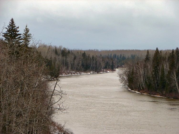
The Abitibi River is a river in northeastern Ontario, Canada, which flows northwest from Lake Abitibi to join the Moose River which empties into James Bay. This river is 540 kilometres (340 mi) long, and descends 265 metres (869 ft).

Contents

Map of Abitibi River, Cochrane, Unorganized, North Part, ON, Canada

The river was an important fur trading route for the Hudson's Bay Company. Now, pulp and paper, centered on the town of Iroquois Falls, Ontario, is an important industry in the heavily forested region through which it flows. The region also supports tourism and gold mining.

The Abitibi Canyon Generating Station is located on the river at Abitibi Canyon. The experience of surveying the river for the purposes of building this plant was the inspiration for folk singer Wade Hemsworth's "The Black Fly Song".

The name is from the Algonquin words abitah, meaning middle and nipi meaning water.

Tributaries

  • Little Abitibi River
  • Frederick House River
  • Black River
  • Downstream course

  • Begins as outlet from Lake Abitibi (48°47′6″N 80°10′23″W)
  • Extreme southern point (48°42′26″N 80°38′25″W)
  • Ansonville, Ontario (48°45′26″N 80°40′43″W)
  • Iroquois Falls, Ontario (48°46′41″N 80°40′6″W)
  • Crossed by Ontario Northland Railway (49°12′43″N 81°0′37″W)
  • Long Sault Rapids hydroelectric plant (49°12′44″N 81°0′52″W)
  • Confluence with the Black River (49°20′58″N 81°6′34″W)
  • Confluence with the Frederick House River (49°18′51″N 81°16′58″W)
  • Ontario Northland Railway crossing at Island Falls Station, Ontario (49°32′53″N 81°22′56″W)
  • Island Falls, Ontario (49°34′3″N 81°23′16″W)
  • Abitibi Canyon Generating Station near Fraserdale, Ontario (49°53′42″N 81°34′42″W)
  • Otter Rapids Generating Station (50°10′57″N 81°38′37″W)
  • Coral Rapids, Ontario (50°13′17″N 81°40′33″W)
  • Extreme western point (50°15′25″N 81°40′48″W)
  • Confluence with the Little Abitibi River (50°29′29″N 81°32′7″W)
  • Joins the Moose River (51°4′17″N 80°55′32″W)
  • Enters James Bay as part of the Moose River (51°21′14″N 80°24′14″W)
  • References

    Abitibi River Wikipedia