
- elevation 2,042 ft (622 m) - elevation 896 ft (273 m) Length 385 km | - average 927 cu ft/s (26 m/s) | |
 | ||
- location Comanche County, Kansas | ||
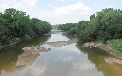
The Salt Fork of the Arkansas River is a 239-mile-long (385 km) tributary of the Arkansas River in southern Kansas and northern Oklahoma in the United States. Via the Arkansas River, it is part of the watershed of the Mississippi River.
Contents
Map of Salt Fork Arkansas River, Oklahoma, USA
CourseEdit
The Salt Fork rises in Comanche County, Kansas, and flows initially southeastwardly through Barber County, Kansas, and Woods County, Oklahoma, to the town of Alva, where it turns eastwardly for the remainder of its course through Alfalfa, Grant, Kay and Noble counties in Oklahoma, past the towns of Pond Creek, Lamont and Tonkawa. It flows into the Arkansas River in southern Kay County, 7 miles (11 km) south of Ponca City.
In Alfalfa County, a dam on the river maintains Great Salt Plains Lake, which is lined with salt flats and is the site of Great Salt Plains National Wildlife Refuge and a state park.
The Salt Fork's largest tributaries are the Medicine Lodge River, which joins it in Alfalfa County and the Chikaskia River, which joins it in Kay County.
Variant namesEdit
According to the Geographic Names Information System, the Salt Fork Arkansas River has also been known as: