
Founded 1893 Population 45,633 (2013) | Area 2,448 km² Unemployment rate 4.9% (Apr 2015) | |
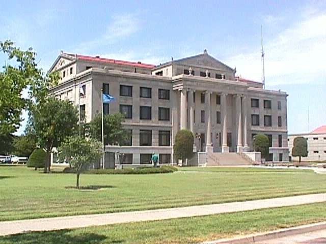 | ||
Website www.courthouse.kay.ok.us/home.html Colleges and Universities Northern Oklahoma College, Pioneer Technology Center, Ponca City Beauty College Points of interest | ||
Kay County is a county located in the U.S. state of Oklahoma. As of the 2010 census, the population was 46,562. Its county seat is Newkirk, and the largest city is Ponca City.
Contents
- Map of Kay County OK USA
- History
- Geography
- Major highways
- Adjacent counties
- Demographics
- Life expectancy
- Cities
- Towns
- Unincorporated communities
- NRHP sites
- Notable people
- References
Map of Kay County, OK, USA
Kay County comprises the Ponca City, OK Micropolitan Statistical Area. It is in north central Oklahoma on the Kansas state line.
Before statehood, Kay County was formed from the “Cherokee Strip” or “Cherokee Outlet” and originally designated as county “K.” Its name means simply that. Kay County is the only county to keep its same name as the Oklahoma area moved from a territory to a state.
History
After the Civil War, the Cherokee Nation had to allow the Federal Government to relocate other Native American tribes to settle in the area known as the Cherokee Outlet, The Kansa (Kaw) arrived in June 1873, settling in what would become the northeastern part of Kay County. The Ponca followed in 1877. The Nez Perce came from the Pacific Northwest in 1879, but remained only until 1885, when they returned to their earlier homeland. Their assigned land in Oklahoma was then occupied by the Tonkawa and Lipan Apache people.
The Chilocco Indian Agricultural School, north of Newkirk, was a boarding school for Indians that operated from 1884 to 1980. Its enrollment peaked at 1,300 in the 1950s and its graduates include members of 126 Indian tribes. The distinguished old buildings of the school were constructed of local limestone.
In 2010, the Keystone-Cushing Pipeline (Phase II) was constructed north to south through Kay County to Cushing in Payne County.
Geography
According to the U.S. Census Bureau, the county has a total area of 945 square miles (2,450 km2), of which 920 square miles (2,400 km2) is land and 25 square miles (65 km2) (2.7%) is water. The highest point in Kay County, Oklahoma, is west of North Sage Lane, at greater than 1,310 feet above sea level. The northern boundary is the border with Kansas and its eastern boundary is with Osage County. Kaw Lake, a large reservoir on the Arkansas River completed in 1975 includes most of the water area of the country. East of Kaw Lake and the Arkansas River is the region called the Osage Hills or The Osage, a tall-grass prairie region of large livestock, mostly cattle, ranches. West of the Arkansas River the land is flatter and a mixture of cultivated lands and livestock ranches. Principal rivers flowing through the county are the Chikaskia River, the Arkansas River and the Salt Fork of the Arkansas River.
Major highways
Adjacent counties
Demographics
As of the census of 2000, there were 48,080 people, 19,157 households, and 13,141 families residing in the county. The population density was 52 people per square mile (20/km²). There were 21,804 housing units at an average density of 24 per square mile (9/km²). The racial makeup of the county was 84.16% White, 1.79% Black or African American, 7.53% Native American, 0.53% Asian, 0.02% Pacific Islander, 1.98% from other races, and 4.00% from two or more races. 4.25% of the population were Hispanic or Latino of any race.
There were 19,157 households out of which 31.90% had children under the age of 18 living with them, 54.70% were married couples living together, 10.20% had a female householder with no husband present, and 31.40% were non-families. 27.90% of all households were made up of individuals and 13.10% had someone living alone who was 65 years of age or older. The average household size was 2.45 and the average family size was 2.99.
In the county, the population was spread out with 26.40% under the age of 18, 8.80% from 18 to 24, 25.00% from 25 to 44, 22.80% from 45 to 64, and 17.00% who were 65 years of age or older. The median age was 38 years. For every 100 females there were 93.70 males. For every 100 females age 18 and over, there were 89.90 males.
The median income for a household in the county was $30,762, and the median income for a family was $38,144. Males had a median income of $30,431 versus $19,617 for females. The per capita income for the county was $16,643. About 12.40% of families and 16.00% of the population were below the poverty line, including 22.70% of those under age 18 and 9.50% of those age 65 or over.
Life expectancy
Of 3,142 counties in the United States in 2013, Kay County County ranked 2,619 in the longevity of male residents and 2,642 in the longevity of female residents, both among the lowest 25 percent of all U.S. counties. Males in Kay County lived an average of 72.5 years and females lived an average of 77.7 years compared to the national average for longevity of 76.5 for males and 81.2 for females.
In the 1985-2013 period, the average longevity in Kay County for females declined by 0.8 years while male longevity increased by 2.0 years. Compared to the national average for the same period of an increased life span of 5.5 years for men and 3.1 years for women, Kay county ranked in the worst performing 10 percent of all counties. High rates of smoking and obesity for both sexes and a low level of physical activity for males appear to be contributing factors to the relatively short life expectancy.
Cities
Towns
Unincorporated communities
NRHP sites
The following sites in Kay County are listed on the National Register of Historic Places: