
ZIP codes 65068, 65233, 65287 Elevation 177 m Local time Wednesday 8:54 AM | Time zone CST (UTC-6) GNIS feature ID 0766538 Area 124.2 km² Population 687 (2000) | |
 | ||
Weather 9°C, Wind E at 27 km/h, 97% Humidity | ||
Saline Township is one of fourteen townships in Cooper County, Missouri, USA. As of the 2000 census, its population was 687.
Contents
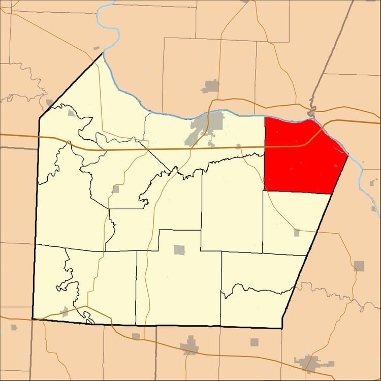
- Map of Saline Township MO USA
- Geography
- Cities towns villages
- Unincorporated towns
- Adjacent townships
- Major highways
- School districts
- Political districts
- References
Map of Saline Township, MO, USA
Saline Township most likely takes its name from Petite Saline Creek.
Geography
According to the United States Census Bureau, Saline Township covers an area of 47.94 square miles (124.16 square kilometers); of this, 46.71 square miles (120.98 square kilometers, 97.44 percent) is land and 1.23 square miles (3.18 square kilometers, 2.56 percent) is water.
Cities, towns, villages
Unincorporated towns
(This list is based on USGS data and may include former settlements.)
Adjacent townships
Major highways
School districts
Political districts
References
Saline Township, Cooper County, Missouri Wikipedia(Text) CC BY-SA