
GNIS feature ID 0766527 Area 138.5 km² Local time Monday 4:42 PM University Kemper Military School | Time zone CST (UTC-6) Elevation 228 m Zip code 65233 Population 9,898 (2000) | |
 | ||
Weather 24°C, Wind S at 32 km/h, 48% Humidity | ||
Boonville Township is one of fourteen townships in Cooper County, Missouri, USA. As of the 2000 census, its population was 9,898.
Contents
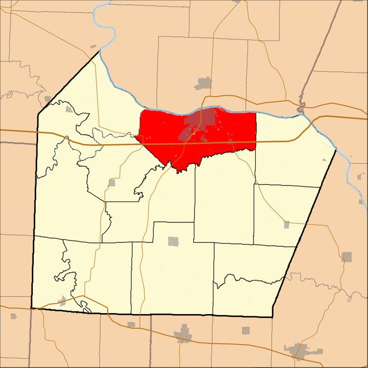
- Map of Boonville Township MO 65233 USA
- Geography
- Cities towns villages
- Unincorporated towns
- Adjacent townships
- Cemeteries
- Major highways
- Airports and landing strips
- Landmarks
- School districts
- Political districts
- References
Map of Boonville Township, MO 65233, USA
Geography
According to the United States Census Bureau, Boonville Township covers an area of 53.47 square miles (138.5 square kilometers); of this, 51.82 sq mi (134.2 km2, 96.92 percent) is land and 1.65 square miles (4.27 square kilometers, 3.08 percent) is water.
Cities, towns, villages
Unincorporated towns
(This list is based on USGS data and may include former settlements.)
Adjacent townships
Cemeteries
The township contains Walnut Grove Cemetery.
Major highways
Airports and landing strips
Landmarks
School districts
Political districts
References
Boonville Township, Cooper County, Missouri Wikipedia(Text) CC BY-SA