
Country United States GNIS feature ID 453823 Local time Wednesday 7:31 AM | FIPS code 18-67356 Elevation 286 m Population 4,034 (2010) | |
 | ||
Weather 6°C, Wind E at 18 km/h, 89% Humidity Area 91.19 km² (90.86 km² Land / 36 ha Water) | ||
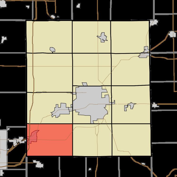
Salem Township is one of twelve townships in Delaware County, Indiana. According to the 2010 census, its population was 4,034 and it contained 1,729 housing units.
Contents
- Map of Salem Township IN USA
- History
- Geography
- Cities and towns
- Unincorporated towns
- Adjacent townships
- Major highways
- Cemeteries
- References
Map of Salem Township, IN, USA
History
The Richwood Evangelical Lutheran Church was listed on the National Register of Historic Places in 2004.
Geography
According to the 2010 census, the township has a total area of 35.21 square miles (91.2 km2), of which 35.08 square miles (90.9 km2) (or 99.63%) is land and 0.14 square miles (0.36 km2) (or 0.40%) is water.
Cities and towns
Unincorporated towns
Adjacent townships
Major highways
Cemeteries
The township contains three cemeteries: Saunders, Sharp and Sunderland.
References
Salem Township, Delaware County, Indiana Wikipedia(Text) CC BY-SA