
Country United States County Delaware Time zone EST (UTC-5) Elevation 278 m Local time Wednesday 9:30 PM Area code 765 | State Indiana FIPS code 18-16642 Zip code 47334 Population 1,631 (2013) | |
 | ||
Weather 9°C, Wind SW at 11 km/h, 44% Humidity Area 5.361 km² (5.309 km² Land / 5 ha Water) | ||
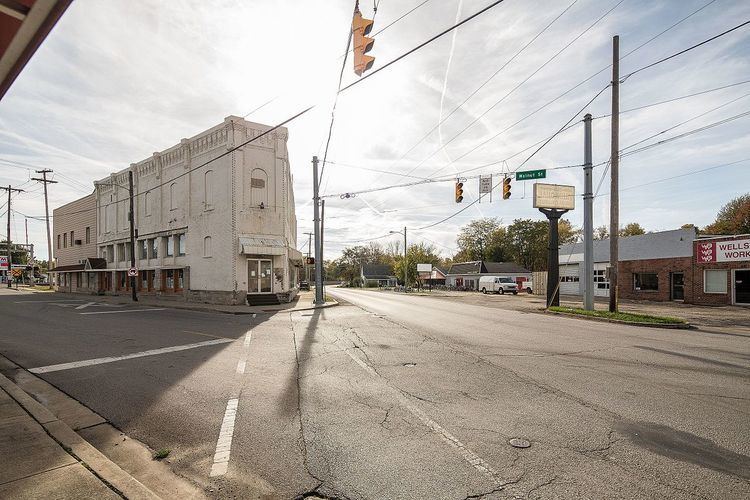
Daleville is a town in Salem Township, Delaware County, Indiana, United States. The population was 1,647 at the 2010 census. It is part of the Muncie, IN Metropolitan Statistical Area.
Contents
Map of Daleville, IN 47334, USA
History
Daleville was named for the Dale family, who settled at the site in the 1820s. It was platted in 1838.
Daleville is the newest town in Indiana, as it was officially incorporated as a town in 1982.
Geography
Daleville is located at 40°07′15″N 85°33′32″W.
According to the 2010 census, Daleville has a total area of 2.07 square miles (5.36 km2), of which 2.05 square miles (5.31 km2) (or 99.03%) is land and 0.02 square miles (0.05 km2) (or 0.97%) is water.
2010 census
As of the census of 2010, there were 1,647 people, 671 households, and 457 families residing in the town. The population density was 803.4 inhabitants per square mile (310.2/km2). There were 716 housing units at an average density of 349.3 per square mile (134.9/km2). The racial makeup of the town was 97.6% White, 0.4% African American, 0.1% Native American, 0.7% Asian, 0.1% Pacific Islander, 0.1% from other races, and 1.0% from two or more races. Hispanic or Latino of any race were 0.5% of the population.
There were 671 households of which 30.8% had children under the age of 18 living with them, 50.4% were married couples living together, 12.1% had a female householder with no husband present, 5.7% had a male householder with no wife present, and 31.9% were non-families. 28.0% of all households were made up of individuals and 9.4% had someone living alone who was 65 years of age or older. The average household size was 2.45 and the average family size was 2.97.
The median age in the town was 40 years. 22.9% of residents were under the age of 18; 8.6% were between the ages of 18 and 24; 24.2% were from 25 to 44; 29.5% were from 45 to 64; and 14.7% were 65 years of age or older. The gender makeup of the town was 47.8% male and 52.2% female.
2000 census
As of the census of 2000, there were 1,658 people, 650 households, and 453 families residing in the town. The population density was 832.4 people per square mile (321.7/km²). There were 688 housing units at an average density of 345.4 per square mile (133.5/km²). The racial makeup of the town was 98.97% White, 0.12% African American, 0.24% Native American, 0.06% Asian, 0.36% from other races, and 0.24% from two or more races. Hispanic or Latino of any race were 0.72% of the population.
There were 650 households out of which 35.2% had children under the age of 18 living with them, 57.2% were married couples living together, 9.5% had a female householder with no husband present, and 30.2% were non-families. 25.8% of all households were made up of individuals and 11.5% had someone living alone who was 65 years of age or older. The average household size was 2.55 and the average family size was 3.09.
In the town, the population was spread out with 28.0% under the age of 18, 8.1% from 18 to 24, 30.3% from 25 to 44, 21.8% from 45 to 64, and 11.8% who were 65 years of age or older. The median age was 35 years. For every 100 females there were 90.6 males. For every 100 females age 18 and over, there were 89.7 males.
The median income for a household in the town was $40,592, and the median income for a family was $48,289. Males had a median income of $36,500 versus $23,182 for females. The per capita income for the town was $18,020. About 2.3% of families and 2.7% of the population were below the poverty line, including 1.6% of those under age 18 and 6.2% of those age 65 or over.
Education
Daleville Public Schools belong to the Daleville Community Schools school district. The district has one elementary school and one junior/senior high school. Students attend Daleville High School.