
Country United States GNIS feature ID 453657 Population 14,102 (2010) | State Indiana FIPS code 18-51552 Elevation 278 m Local time Monday 1:58 AM | |
 | ||
Weather 3°C, Wind SE at 13 km/h, 75% Humidity Area 87.9 km² (87.28 km² Land / 62 ha Water) | ||
Mount Pleasant Township is one of twelve townships in Delaware County, Indiana. According to the 2010 census, its population was 14,102 and it contained 6,157 housing units. The school system is Mount Pleasant Township Community Schools in Yorktown.
Contents
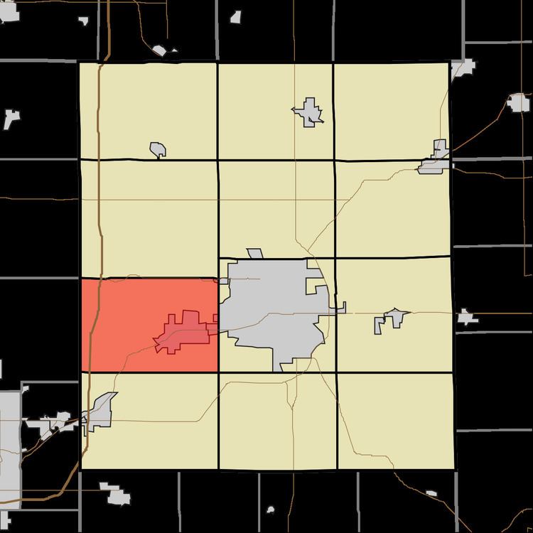
- Map of Mt Pleasant IN USA
- History
- Geography
- Cities and towns
- Unincorporated towns
- Adjacent townships
- Major highways
- Cemeteries
- References
Map of Mt Pleasant, IN, USA
History
The Martin Hofherr Farm was listed on the National Register of Historic Places in 1992.
Geography
According to the 2010 census, the township has a total area of 33.94 square miles (87.9 km2), of which 33.7 square miles (87 km2) (or 99.29%) is land and 0.24 square miles (0.62 km2) (or 0.71%) is water.
Cities and towns
Unincorporated towns
Adjacent townships
Major highways
Cemeteries
The township contains three cemeteries: Hawk, Jones and McKinley.
References
Mount Pleasant Township, Delaware County, Indiana Wikipedia(Text) CC BY-SA