
GNIS feature ID 0453923 Area 51.49 km² Population 8,898 (2010) | ZIP codes 46012, 46017, 47356 Elevation 277 m Local time Friday 2:05 PM | |
 | ||
Weather 8°C, Wind NW at 27 km/h, 99% Humidity | ||
Union Township is one of fourteen townships in Madison County, Indiana, United States. As of the 2010 census, its population was 8,898 and it contained 4,004 housing units.
Contents
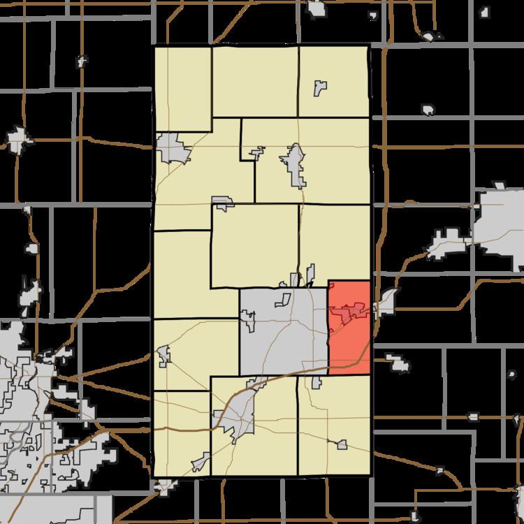
- Map of Union Township IN USA
- History
- Geography
- Cities towns villages
- Cemeteries
- Major highways
- Airports and landing strips
- School districts
- Political districts
- References
Map of Union Township, IN, USA
History
Union Township was organized in 1830. It was likely named in commemoration of the federal union of the United States.
Geography
According to the 2010 census, the township has a total area of 19.88 square miles (51.5 km2), of which 19.81 square miles (51.3 km2) (or 99.65%) is land and 0.07 square miles (0.18 km2) (or 0.35%) is water.
Cities, towns, villages
Cemeteries
The township contains these three cemeteries: Bronnenberg, Clem and Keesling.
Major highways
Airports and landing strips
School districts
Political districts
References
Union Township, Madison County, Indiana Wikipedia(Text) CC BY-SA