
Country Thailand Area 9,605.8 km2 Population 1,138,609 | Capital | |
 | ||
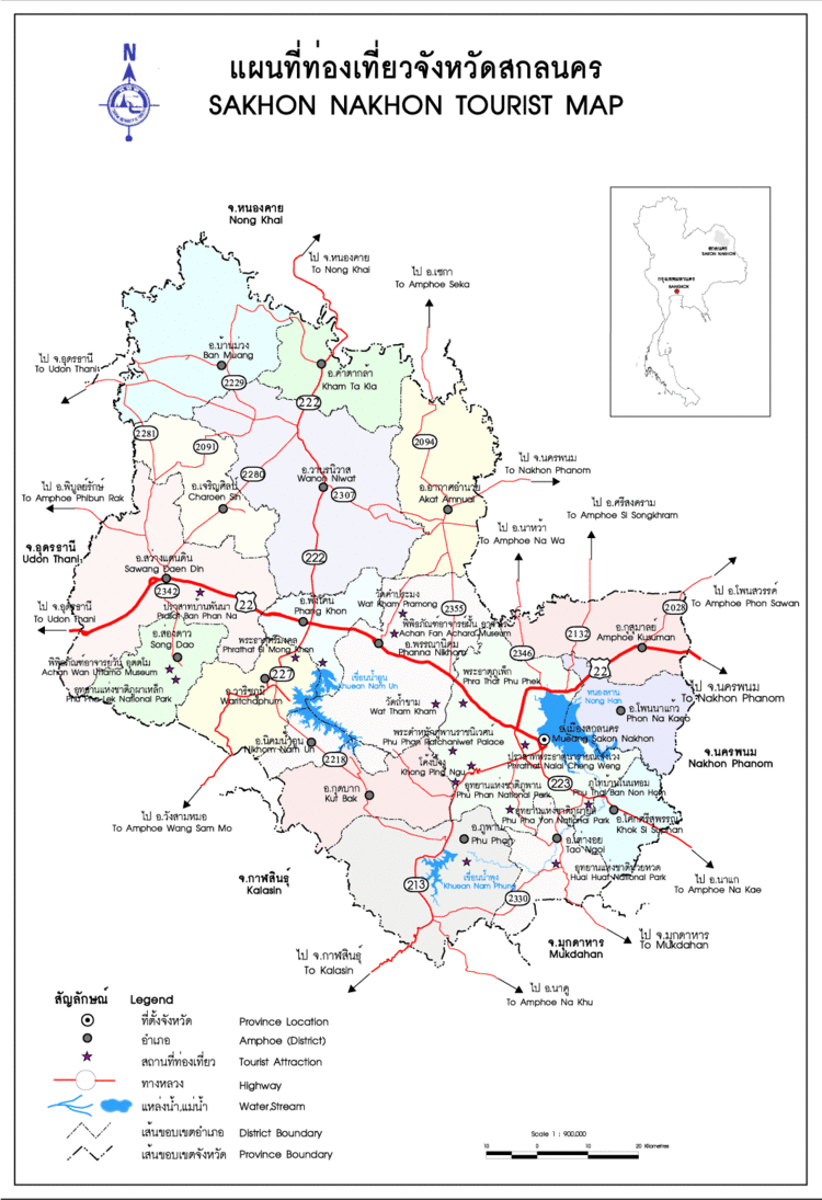
Map of Sakon Nakhon Province
Sakon Nakhon (Thai: สกลนคร) is one of the northeastern provinces (changwat) of Thailand. Neighboring provinces are (from north clockwise) Nong Khai, Bueng Kan, Nakhon Phanom, Mukdahan, Kalasin, and Udon Thani. The capital is Sakon Nakhon.
Contents
Etymology
The word sakon originates from the Sanskrit word sakala (Devanagari: सकल) meaning "entire", "whole", or "total", and the word nakhon from Sanskrit nagara (Devanagari: नगर) meaning "town" or "city". Hence the name of the province literally means "city of cities". In the Khmer language the province would be Sakor Nokor.
Geography
The province is on the Khorat Plateau, not far from the River Mekong. The Nong Han lake, the biggest natural lake of northeast Thailand, near the city of Sakon Nakhon, is a popular resort of the local people. The Phu Phan Mountains delimit the province to the south.
Symbols
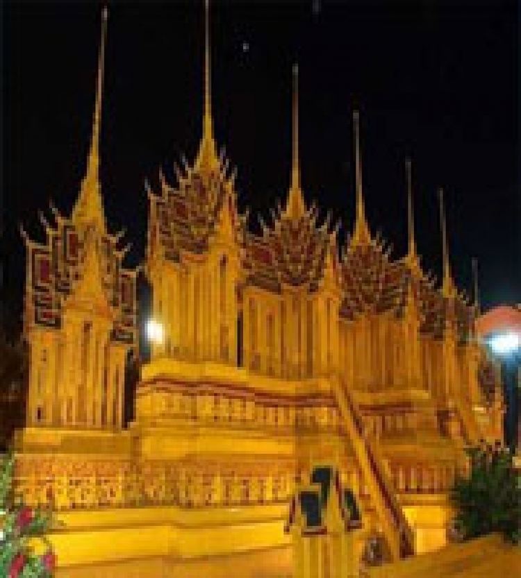
The provincial seal shows the Phrathat Choeng Chum, a Lao-style chedi built during the Ayutthaya period over a Khmer-style prang.
The provincial tree is the banaba or Queen's Crape Myrtle (Lagerstroemia speciosa).
Administrative divisions
The province is divided into 18 districts (amphoe). The districts are further subdivided into 125 communes (tambon) and 1,323 villages (muban).