
Elevation 175 m (574 ft) Time zone ICT (UTC+7) Local time Wednesday 1:31 PM | Population 76,000 Province Sakon Nakhon Province | |
 | ||
Weather 32°C, Wind E at 11 km/h, 53% Humidity Points of interest Phra That Choeng Chum, Somdet Phra Srinagari, Nong Han Lake, Phu Phan Museum | ||
Discovering sakon nakhon
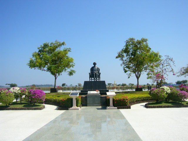
Sakon Nakhon (sometimes written Sakhon Nakhon) is a city (thesaban nakhon) in Thailand within the Isan region, and capital city of Sakon Nakhon Province as well as Mueang Sakon Nakhon District, with a population of approximately 76,000. Sakon Nakhon covers the whole tambon of That Choeng Chum and parts of tambons Ngio Don, Huai Yang, Dong Mafai, That Na Weng and Hang Hong. Sakon Nakhon is 651 km north-east of Bangkok by road.
Contents
- Discovering sakon nakhon
- Map of Sakhon Nakhon Mueang Sakon Nakhon District Sakon Nakhon 47000 Thailand
- History
- Geography
- Climate
- Economy
- Transportation
- References
Map of Sakhon Nakhon, Mueang Sakon Nakhon District, Sakon Nakhon 47000, Thailand
History
During World War II, Sakon Nakhon became a haven for Free Thais, and a base for Communist activities in the late 1950s.
Geography
Sakon Nakhon lies on a flat plain at about 175 metres (574 ft) elevation on the south-west bank of Lake Nong Han, the largest lake of north-east Thailand. The town is surrounded by extensive farmland.
Climate
Sakon Nakhon has a tropical savanna climate (Köppen climate classification Aw). Winters are dry and very warm. Temperatures rise until April, which is hot with the average daily maximum at 35.1 °C (95.2 °F). The monsoon season runs from May through October, with heavy rain and somewhat cooler temperatures during the day, although nights remain warm. The lowest temperature ever recorded in Thailand is in Sakon Nakhon when −1.4 °C (29.5 °F) was recorded on 2 January 1974.
Economy
Fish and rice are two of the major products of the region.
Transportation
Route 22 leads north to Udon Thani, 160 km distant, and east to Nakhon Phanom (91 km) and the border with Laos. Route 223 leads south to That Phanom (76 km). Route 213 leads west to Kalasin (131 km).
There is a regional airport, Sakon Nakhon Airport, on the north side of the city.