
 | ||
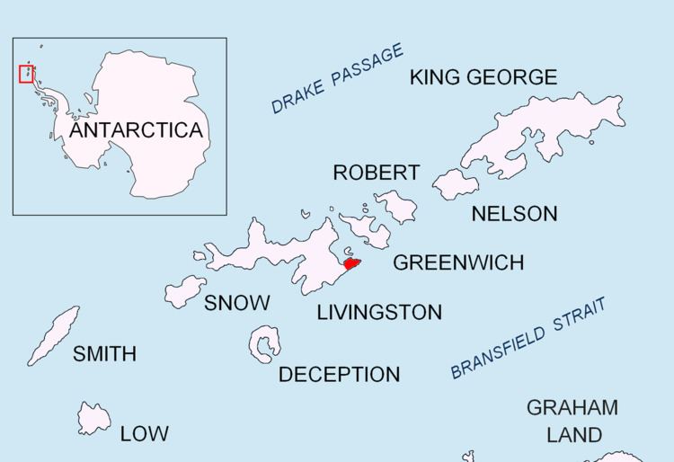
Ropotamo Glacier (Bulgarian: Lednik Ropotamo \'led-nik ro-po-'ta-mo) is a glacier extending 900 m in northeast-southwest direction and 600 m in northwest-southeast direction on the Burgas Peninsula, Livingston Island in the South Shetland Islands, Antarctica and situated northeast o Dobrudzha Glacier, east-southeast of Iskar Glacier, south of Sopot Ice Piedmont and southwest of Strandzha Glacier. It is bounded by Asen Peak and Delchev Peak to the northwest and north, and flows southeastwards mostly into Yantra Cove, Bransfield Strait.
Contents
Map of Ropotamo Glacier, Antarctica
The feature is named after the river Ropotamo in Bulgaria.
Location
Ropotamo Glacier is centered at 62°38′55″S 59°55′34″W. Bulgarian mapping in 2005 and 2009.
Maps
References
Ropotamo Glacier Wikipedia(Text) CC BY-SA