
Surface area 773 acres (313 ha) Area 3.128 km² Catchment area 341.9 km² | Primary inflows Average depth 74 ft (23 m) Mean depth 23 m Outflow location Patuxent River | |
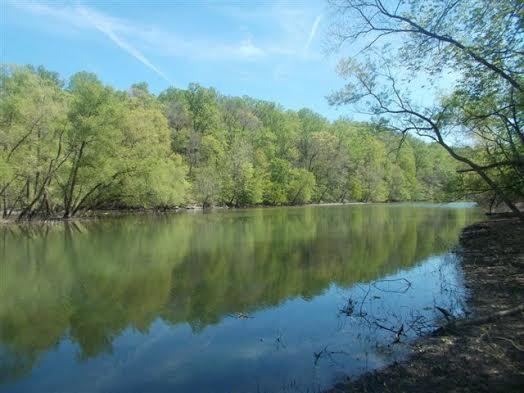 | ||
Rocky gorge reservoir laurel maryland
Rocky Gorge Reservoir is located on the Patuxent River in Howard County, Montgomery County and Prince George’s County, Maryland near the town of Burtonsville. The reservoir was created in 1952 by the construction of the T. Howard Duckett Dam on the Patuxent. The dam is visible from Interstate 95 near mile marker 34. Because of its close association with a dam by the name, the reservoir is sometimes called the T. Howard Duckett Reservoir. It has a surface area of 773 acres (3.13 km2). The reservoir is maintained as a drinking water source by the Washington Suburban Sanitary Commission (WSSC).
Contents
- Rocky gorge reservoir laurel maryland
- Map of Rocky Gorge Reservoir Maryland USA
- Sea eagle 330 rocky gorge reservoir entered from scotts cove ramp laurel maryland off 29n
- References
Map of Rocky Gorge Reservoir, Maryland, USA
WSSC provides recreational facilities to the public on portions of the Rocky Gorge property, including hiking, picnicing, fishing, boating, horseback riding, and hunting. Local fish species include pike and largemouth bass.