
Time zone Eastern (EST) (UTC-5) GNIS feature ID 0583500 Area 20.6 km² Population 13,344 (2010) | FIPS code 24-11750 Elevation 149 m Zip code 20866 Area code Area codes 240 and 301 | |
 | ||
Country United States of America | ||
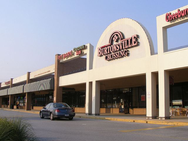
Burtonsville is a census-designated place and an unincorporated area in Montgomery County, Maryland, United States.
Contents
Map of Burtonsville, MD, USA
History
In colonial times, the area was referred to as the Patuxent Hundred and later the Eastern Branch Hundred, a community comprising about 100 inhabitants. Among some of the earliest land grants are Maiden's Fancy, a 580-acre (2.3 km2) tract surveyed for Neal Clark in 1700, and Bear Bacon nearby, a 600-acre (2.4 km2) tract of land surveyed in 1703 for a Mark Richardson. Another prominent land holder was Richard Snowden, an iron master, who held various land patents in the area, including Snowdens Manor (surveyed 1715) consisting of an impressive 9,265 acres (37.49 km2) and Snowdens Mill (surveyed 1723) occupying an additional 546 acres (2.21 km2). From these larger tracts, among others, were carved smaller tracts of land which were either rented or sold off to planters and the like.
The community of Burtonsville, originally called Burton's, takes its name from Isaac Burton, who in 1825 bought out his siblings' shares of his father's land and became the major landowner in the area. He and his wife Keturah had 17 children, many of whom stayed in the area as adults. The community itself grew around the intersection of Old Columbia Pike and the road to Sandy Spring. In the 1850s Isaac Burton became the first postmaster of the newly established post office in the vicinity, which operated out of his store at the intersection. Burtonsville's core area today continues to center around the intersection of Maryland Route 198 and US Route 29.
Geography
As an unincorporated area, Burtonsville's boundaries are not officially defined. Burtonsville is, however, recognized by the United States Census Bureau as a census-designated place, and by the United States Geological Survey as a populated place located at 39°6′27″N 76°56′3″W (39.107475, -76.934115).
According to the United States Census Bureau, the place has a total area of 8.0 square miles (21 km2), of which 7.8 square miles (20 km2) is land and 0.2 square miles (0.4 km², or 1.88%) is water.
Demographics
As of the census of 2000, there were 7,305 people, 2,480 households, and 1,919 families residing in the area. The population density was 935.1 people per square mile (361.1/km²). There were 2,533 housing units at an average density of 324.3/sq mi (125.2/km²). The racial makeup of the area was 52.05% White, 25.42% African American, 0.22% Native American, 17.62% Asian, 0.01% Pacific Islander, 1.64% from other races, and 3.04% from two or more races. Hispanic or Latino of any race were 5.60% of the population.
In 2000, 7.97% of Burtonsville residents identified as being of Indian heritage. This was the highest percentage of Indian Americans of any place in Maryland.
There were 2,480 households out of which 45.5% had children under the age of 18 living with them, 59.6% were married couples living together, 14.2% had a female householder with no husband present, and 22.6% were non-families. 16.4% of all households were made up of individuals and 2.7% had someone living alone who was 65 years of age or older. The average household size was 2.94 and the average family size was 3.34.
In the area, the population was spread out with 30.0% under the age of 18, 6.4% from 18 to 24, 35.4% from 25 to 44, 22.1% from 45 to 64, and 6.1% who were 65 years of age or older. The median age was 35 years. For every 100 females there were 91.1 males. For every 100 females age 18 and over, there were 85.7 males.
The median income for a household in the area was $73,241, and the median income for a family was $76,862. Males had a median income of $52,003 versus $41,133 for females. The per capita income for the area was $26,614. About 2.1% of families and 2.5% of the population were below the poverty line, including 1.9% of those under age 18 and 1.8% of those age 65 or over.
Culture
Burtonsville holds an annual "Burtonsville Day", celebrating Issac Burton's existence. The event involves many small social gatherings at different places, with activities such as petting zoos and various games.The event also has a large parade through the town. One society is the Burtonsville Lions Club.
Education
Public schools in Burtonsville include Burtonsville Elementary School, Greencastle Elementary School, Benjamin Banneker Middle School, and Paint Branch High School.