
Country Canada Local time Monday 10:33 PM | City Toronto Community York | |
 | ||
Weather 4°C, Wind SW at 10 km/h, 83% Humidity Restaurants New Orleans Seafood, Roti Time, Essential Meal Delivery, Sicily Pizza, Pho Son Vietname Restaurant | ||
Rockcliffe–Smythe is a neighbourhood in Toronto, Ontario, Canada. It was part of the former City of York before the amalgamation of Toronto in 1998. The boundaries are Eglinton Avenue West to the north, the Humber River and Jane Street to the west. It then proceeds south along Jane to Lambton, and follows Lambton past Weston Road to the north-south railway lines to the east. The boundary follows the railway south to the eastern boundary then veers south along neighbourhood streets until it reaches St. Clair Avenue West. The boundary then follows the railway line to the Humber River, and follows the Humber River north to Eglinton Avenue. It is in Ward 11 (York-South Weston) in the City of Toronto.
Contents
- Map of Rockcliffe Smythe Toronto ON Canada
- Development
- Character
- Schools
- Demographics
- Main Streets
- The Stockyards
- Transportation
- References
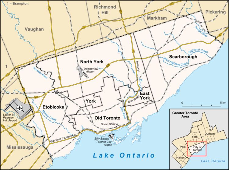
Map of Rockcliffe - Smythe, Toronto, ON, Canada
As with many neighbourhoods defined by the city, there are often more traditional names for pockets of the city. Directly north-east of Jane Street and St. Clair West is an area called Syme, named after George Syme. Further to the east (beyond Hilldale road) is another pocket called Harwood. Harwood is bordered by creek in almost all directions.
Development
Rockcliffe–Smythe was mostly farm land during the 1800s. One of the first large-scale developments in the area was the opening of the Smythe gravel pit in the 1920s, by Conn Smythe. After World War II the gravel pit was used up. This led to the residential development of the surrounding area. Smythe made homes available to returning servicemen and families, losing money on each. The neighbourhood has retained the Smythe name ever since. Smythe Park exists today on the site of the pit and is the site of the Smythe Park Recreation and Community Centre.
More recently, Rockcliffe Smythe is re-asserting itself with a spate of new infrastructure developments. The northern part of the area will be within walking distance to Mount Dennis station on the Eglinton Crosstown and the proposed SmartTrack Line. To the east of the neighbourhood the York Community Centre will be opening in early 2017. The centre is set to feature a double gymnasium, a running/walking track, a six-lane 25-metre indoor training pool, an indoor leisure pool, two multi-purpose rooms, and weight, aerobic and dance rooms.
Character
The area is predominately residential in nature, mostly made up of single-family detached homes. There are apartment buildings along Jane Street, Scarlett Road, and Humber Boulevard. Rockcliffe–Smythe is known for having large amounts of green space including the centrally located Smythe Park. The entire western boundary is green space which includes Lambton Park and Scarlett Woods golf courses. Black Creek meets the Humber in the neighbourhood. The Black Creek enters the neighbourhood from the north-east, travelling through a concrete culvert in the center of Humber Boulevard and through concrete through parks and to the Humber.
BlogTO has identified Rockcliffe–Smythe as one of the top 5 Toronto neighbourhoods on the rise in 2017. In December 2016, Airbnb listed it sixth in its top 17 neighbourhoods to visit in 2017, based on a 497 per cent increase in bookings in 2016. In April, 2015, Toronto Life listed Rockcliffe–Smythe as one of the top three neighbourhoods in Toronto for first time home buyers. “In the last 10 years there have been significant changes.” New retail development, like the Stockyards outdoor mall at the neighbourhood’s southeastern corner, has revived some formerly barren lots, and the Junction’s hot retail strip is just a short walk south.
Schools
Demographics
In 2011, the top 11 languages used at home by residents of Rockcliffe–Smythe were:
- English: 61.40%
- Portuguese: 7.28%
- Spanish: 6.83%
- Vietnamese 3.91%
- Italian 2.28%
- Chinese 1.45%
- Polish 1.16%
- Ukrainian 1.03%
- Tagalog 0.85%
- Urdu 0.76%
- Somali 0.63%
At 0.11%, French does not rank in the top 11.
Main Streets
The area is centered by Jane Street, a north-south four-lane arterial road. To the west, Scarlett Road is another arterial road running north-westerly from Dundas Street to Eglinton, the north-west corner of the neighbourhood. The central east-west artery from Jane to Weston is Alliance Avenue and Lambton Avenue. To the east, Weston Road is a major four-lane arterial road in a north-westerly direction.
The Stockyards
Stockyards Mall is an urban, mixed-use retail centre with over 554,000 square feet of retail and office space. It is located at the intersection of St. Clair Avenue West and Weston Road South. There is parking available and access via public transit on the St. Clair street car line (512). Major retailers include PetSmart and Winners. Historically, the area bounded by Gunns Road, St. Clair Avenue West, and Weston Road was once home to various meat packers including Canada Packers, now Maple Leaf Foods before being redeveloped into The Stockyards in 2009.
Transportation
The area is served by Toronto Transit Commission bus lines that connect to the bloor-danforth subway line. Main routes include the Route 35 along Jane Street to Jane subway station, route 71 and 79 Scarlett Road along Runnymede Road, and the Route 89 Weston bus line that runs along Weston Road to Keele subway station. Lastly, the 161 Rogers Road loops within the neighbourhood and goes to the east, meeting the subway at Ossington subway station.
New light rail transit routes are planned for both Jane and Eglinton. The area will also be within reach of the Mount Dennis and Smart Track subway line at Weston and Eglinton. The subway line will connect to the Eglinton-Crosstown Line at Mount Dennis where there will be transportation along Eglinton to Pearson International Airport and south to Union Station.