
Length 120 km | Source elevation 1,300 m Mouth Lake Albert | |
 | ||
- location Ndaiga, Western Region, Uganda | ||
Location
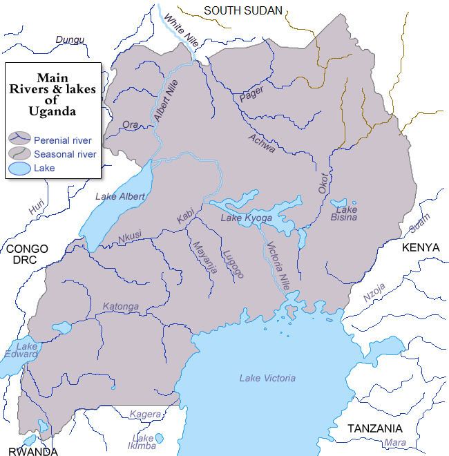
The Muzizi River is located in the western part of Uganda. It starts from the hills, northwest of the town of Mubende in Mubende District, Central Uganda. It flows in a northwestern direction to empty into Lake Albert, on the border between Uganda and the Democratic Republic of the Congo.
The source of River Muzizi is located in Mubende, with coordinates: Latitude:0.5772; Longitude:31.1950. River Muzizi enters Lake Albert at Ndaiga, in Kibaale District, with coordinates: Latitude:1.0090; Longitude:30.5370. On its course northwestwards, the river traverses or forms the borders of the following districts : Mubende District, Kyegegwa District, Kibaale District, Kyenjojo District, Kabarole District, Kibaale District and Ntoroko District. At its source, the altitude is approximately 1,300 metres (4,300 ft). At its point of entry into Lake Albert, the altitude is approximately 650 metres (2,130 ft).
The length of Muzizi River, is approximately 120 kilometres (75 mi) from source to end.
Muzizi Power Station
Approximately 10 kilometres (6.2 mi), before River Muzizi empties into Lake Albert, it cascades from an elevation of approximately 1,000 metres (3,300 ft), above sea level to an elevation of about 700 metres (2,300 ft) above sea level. At this site, the Government of Uganda, plans to construct a 26 MW min-hydropower station, known as Muzizi Power Station. Construction is expected to begin in 2013, with commissioning expected bin 2018.