
Country Uganda Sub-region Rwenzururu sub-region Elevation 600 m | Local time Tuesday 12:17 AM | |
 | ||
Weather 26°C, Wind S at 5 km/h, 62% Humidity | ||
Ntoroko is a town in Western Uganda. It is the 'chief town' of Ntoroko District and the district headquarters are located there.
Contents
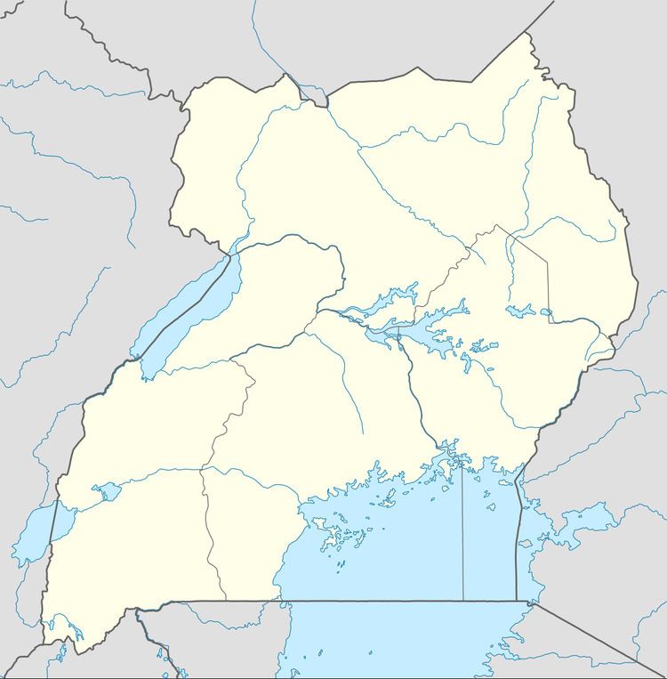
Map of Ntoroko, Uganda
Location
Ntoroko is located approximately 126 kilometres (78 mi), by road, southwest of Hoima, the nearest large town. This location lies approximately 307 kilometres (191 mi), by road, northwest of Kampala, the capital of Uganda, and the largest city in that country. The coordinates of the town are:1°03'00.0"N, 30°32'06.0"E (Latitude:1.0500; Longitude: 30.5350).
Overview
Ntoroko is a small town on the southern shores of Lake Albert. The town sits at an altitude of 600 metres (2,000 ft), above sea level. The predominant ethnicities in the town are the Batuku and the Bakonjo. However other ethnicities coexist with them including the Batooro, Bakiga, Banyoro and the Banyarwanda. Ntoroko became he district headquarters of Ntoroko District, in July 2010, when the district was created from Bundibugyo District.
Population
As of June 2014, the current population of the town of Ntoroko is not publicly known. The next national population census in Uganda, is planned for August 2014.
Points of interest
The following points of interest are found in or near Ntoroko: