
Founded March 5, 1853 Website www.co.rice.mn.us Population 65,049 (2013) | Named for Henry Mower Rice Area 1,336 km² | |
 | ||
Colleges and Universities St. Olaf College, Carleton College Points of interest River Bend Nature Center, Faribault Parks & Recreation, Flaten Art Museum, Trondhjem Norwegian Lutheran, Sakatah Singing Hills Stat | ||
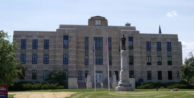
Rice County is a county in the U.S. state of Minnesota. As of the 2010 census, the population was 64,142. Its county seat is Faribault.
Contents
- Map of Rice County MN USA
- Geography
- Lakes
- Adjacent counties
- Demographics
- Parks and recreation
- Cities
- Census designated place
- References
Map of Rice County, MN, USA
Rice County comprises the Faribault-Northfield, MN Micropolitan Statistical Area, which is included in the Minneapolis-St. Paul, MN-WI Combined Statistical Area.
Geography
According to the U.S. Census Bureau, the county has an area of 516 square miles (1,340 km2), of which 496 square miles (1,280 km2) is land and 20 square miles (52 km2) (3.9%) is water. The Cannon River flows northeastwardly through the county, collecting the Straight River in Faribault. The North Fork of the Zumbro River has its headwaters in the county's southeastern part. Rice is one of 17 Minnesota savanna counties with more savanna soils than either prairie or forest soils.
Lakes
Adjacent counties
Demographics
As of the census of 2000, there were 56,665 people, 18,888 households, and 13,353 families residing in the county. The population density was 114 people per square mile (44/km²). There were 20,061 housing units at an average density of 40 per square mile (16/km²). The racial makeup of the county was 93.59% White, 1.31% Black or African American, 0.43% Native American, 1.46% Asian, 0.04% Pacific Islander, 1.87% from other races, and 1.30% from two or more races. 5.50% of the population were Hispanic or Latino of any race. 32.1% were of German, 14.7% Norwegian, 7.2% Irish and 5.3% Czech ancestry.
There were 18,888 households out of which 36.50% had children under the age of 18 living with them, 58.10% were married couples living together, 8.60% had a female householder with no husband present, and 29.30% were non-families. 23.90% of all households were made up of individuals and 9.10% had someone living alone who was 65 years of age or older. The average household size was 2.65 and the average family size was 3.14.
In the county, the population was spread out with 25.30% under the age of 18, 15.80% from 18 to 24, 27.40% from 25 to 44, 20.20% from 45 to 64, and 11.40% who were 65 years of age or older. The median age was 33 years. For every 100 females there were 101.80 males. For every 100 females age 18 and over, there were 100.30 males.
The median income for a household in the county was $48,651, and the median income for a family was $56,407. Males had a median income of $36,771 versus $26,151 for females. The per capita income for the county was $19,695. About 4.00% of families and 6.90% of the population were below the poverty line, including 5.70% of those under age 18 and 10.70% of those age 65 or over.