
Country United States Time zone Central (CST) (UTC-6) Elevation 333 m | State Minnesota ZIP code 55021 and 56052 Local time Saturday 7:04 AM | |
 | ||
Weather -1°C, Wind NE at 0 km/h, 100% Humidity | ||
Shieldsville is an unincorporated community in Shieldsville Township, Rice County, Minnesota, United States.
Contents
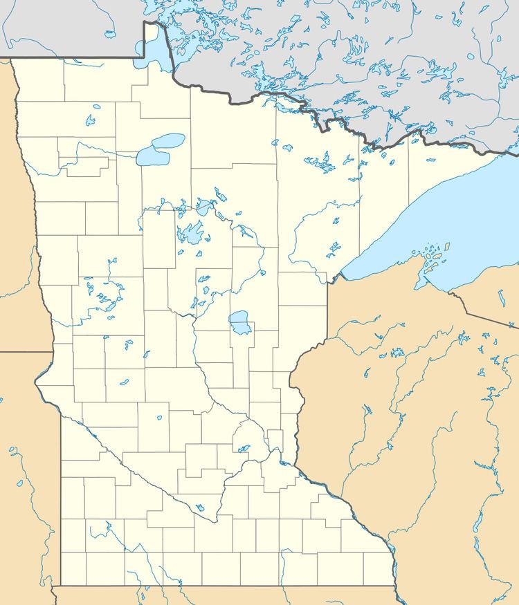
Map of Shieldsville, MN 55021, USA
The center of Shieldsville is generally considered near the junction of State Highway 21 (MN 21) and Rice County Road 10 (Dodd Road). Other routes include County Roads 37, 38, and 67.
Nearby places include Faribault, Kilkenny, Waterville, and Montgomery. Shieldsville is located in section 1 of Shieldsville Township.
ZIP codes 55021 (Faribault), 56052 (Kilkenny), 56096 (Waterville), and 56069 (Montgomery) all meet near Shieldsville.
History
Shieldsville was platted in 1856 named for James Shields (1810–1879), American politician and U.S. Army officer. It was founded around the Irish St. Patrick Catholic Church.
In order to attract Irish immigrants for the community land was sold for $2.00 per acre within the area.
On July 29, 2002, The St. Patrick Church of Shieldsville was hit by lightning for the second time in its history and was severely destroyed. It was rebuilt 2 years later on August 1, 2004.
Culture
Shieldsville holds a Fall Festival for the town and the surrounding area every September 29. Shieldsville shares this date with Medford, MN and Morristown, MN on September 22, both nearby communities.