Country United States Time zone Central (CST) (UTC-6) Elevation 321 m | State Minnesota ZIP code 56069 | |
 | ||
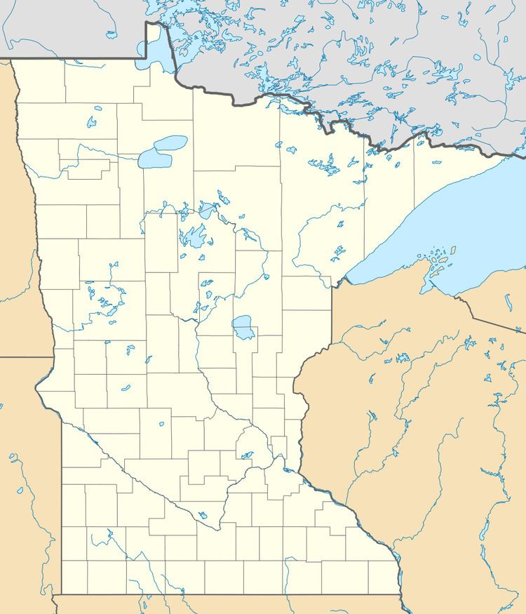
Wheatland is an unincorporated community in Wheatland Township, Rice County, Minnesota, United States.
Map of Wheatland, MN 56069, USA
The community is located along Union Lake Trail, near its junctions with Jennings Avenue and Kent Avenue.
Nearby places include Lonsdale, Veseli, Montgomery, New Prague, Webster, and Millersburg.
References
Wheatland, Minnesota Wikipedia(Text) CC BY-SA
