
Primary inflows Max. width 1.2 km (0.75 mi) Length 10 km | Max. length 10 km (6.2 mi) Surface elevation 313 m Width 1.2 km | |
 | ||
Islands Babcock Island, Sans Souci Island Part of | ||
Rib Lake is a long and narrow lake in the Town of Latchford and in the Municipality of Temagami in Northeastern Ontario, Canada, located about 9 kilometres (6 mi) southeast of the centre of the community of Latchford and 9 kilometres (6 mi) northeast of the community of Temagami North. The lake is in the Ottawa River drainage basin and is the main access for canoeists en route to the Cliff Lake Ridge.
Contents
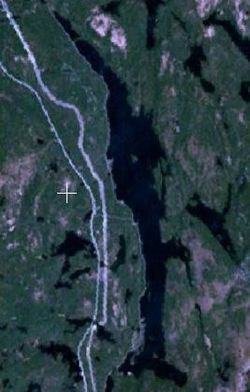
Map of Rib Lake, Ontario, Canada
Geography
The lake is about 10 kilometres (6 mi) long north to south and 1.2 kilometres (0.7 mi) wide east to west. With the exception of the very southern tip, the lake is in the South Part of geographic Gillies Limit Township in Timiskaming District, today part of the town of Latchford; the southern tip is in geographic Best Township in Nipissing District, today part of the municipality of Temagami.
There are ten creek inflows: one at the north end of the lake from Johnson Lake; four on the east side, from an unnamed pond, Roosevelt Lake, Cliff Lake and an unnamed lake from north to south; one from unnamed lakes at Murphy's Bay at the southeast end; four on the west side, two from unnamed ponds, from Whitney Lake and an unnamed pond from north to south. The primary outflow is Net Creek, towards Petrault Lake, at the southwest corner of the lake, which eventually flows via Net Lake, Cassels Lake, Rabbit Lake, the Matabitchuan River, Lake Timiskaming, and the Ottawa River into the Saint Lawrence River.
Transportation
The Ontario Northland Railway mainline runs along the entire west side of the lake; the stops/settlements of Freeman and Rib Lake are on west shore. Ontario Highway 11 (Frontier Route) runs just west of the lake.