- elevation 288 m (945 ft) Length 20 km | - elevation 178 m (584 ft) | |
 | ||
Ottawa temiskaming highland trail matabitchuan river to fourbass lake
The Matabitchuan River is a river in Nipissing and Timiskaming Districts, Ontario, Canada.
Contents
- Ottawa temiskaming highland trail matabitchuan river to fourbass lake
- Map of Matabitchuan River Timiskaming Unorganized West Part ON Canada
- Hydrology
- References
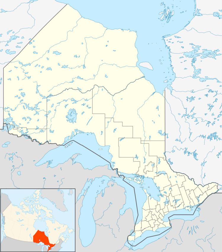
Map of Matabitchuan River, Timiskaming, Unorganized, West Part, ON, Canada
Hydrology
The river begins at Rabbit Lake in Nipissing District at an elevation of 288 metres (945 ft). It flows northeast over Rabbit Lake Dam and through Rabbit Chute to take in the left tributary Lorrain Creek. The river continues northeast, passing into Timiskaming District, to Fourbass Lake at an elevation of 274 metres (899 ft) and then empties into the west side of Lake Timiskaming, 1 kilometre (0.6 mi) south of the mouth of the Montreal River. A dam controls the outflow of Fourbass Lake, and some of the water from the lake is diverted through penstocks from a point 47°07′17″N 79°29′54″W southeast of the river outflow to the Ontario Power Generation Matabitchuan Generating Station. Highway 567 leads from the community of North Cobalt (in Temiskaming Shores) to the generating station.
