
 | ||
Rhesus Glacier (Bulgarian: ледник Резос, ‘Lednik Rezos’ \'led-nik 're-zos) is a 7 km long and 2.5 km wide glacier draining the east slopes of the Trojan Range on Anvers Island in the Palmer Archipelago, Antarctica southeast of Paris Peak. Situated east of Iliad Glacier, south of Lipen Glacier and north of Thamyris Glacier. Flowing northeastwards into Fournier Bay south of Thompson Peninsula and north of Predel Point.
Contents
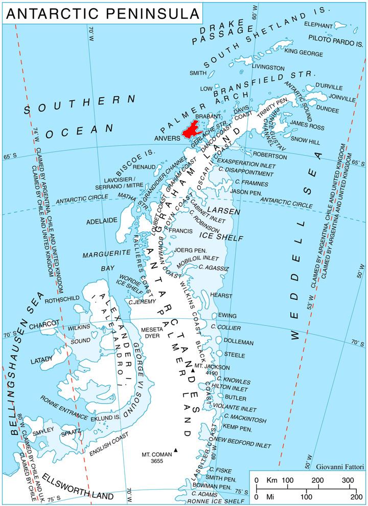
Map of Rhesus Glacier, Antarctica
The glacier is named after the King Rhesus of Thrace in Homer's Iliad.
Location
Rhesus Glacier is located at 64°31′35″S 63°17′00″W. British mapping in 1980.
Maps
References
Rhesus Glacier Wikipedia(Text) CC BY-SA