
 | ||
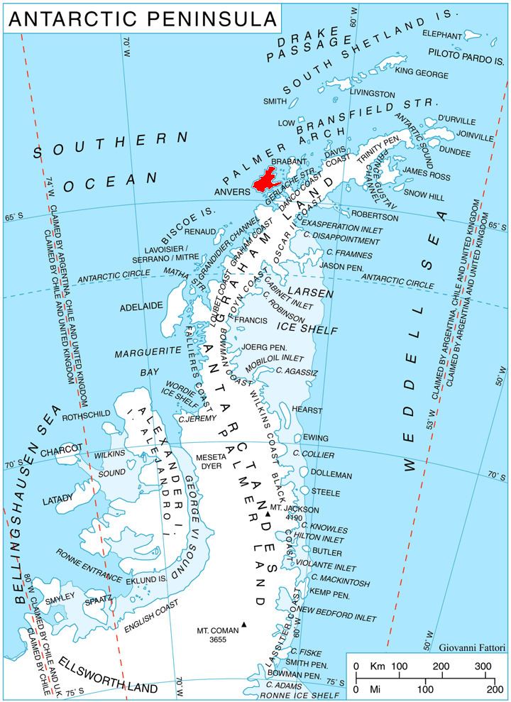
Lipen Glacier (Bulgarian: ледник Липен, ‘Lednik Lipen’ \'led-nik 'li-pen) is a 5 km long and 3.5 km wide glacier draining the east slopes of the Trojan Range on Anvers Island in the Palmer Archipelago, Antarctica. Situated east of Iliad Glacier and north of Rhesus Glacier. Flowing northeastwards into the head of Patagonia Bay east of Gourdon Peninsula and west of Thompson Peninsula.
Contents
Map of Lipen Glacier, Antarctica
The glacier is named after the settlement of Lipen in northwestern Bulgaria.
Location
Lipen Glacier is centred at 64°29′15″S 63°16′30″W. British mapping in 1980.
Maps
References
Lipen Glacier Wikipedia(Text) CC BY-SA