
 | ||
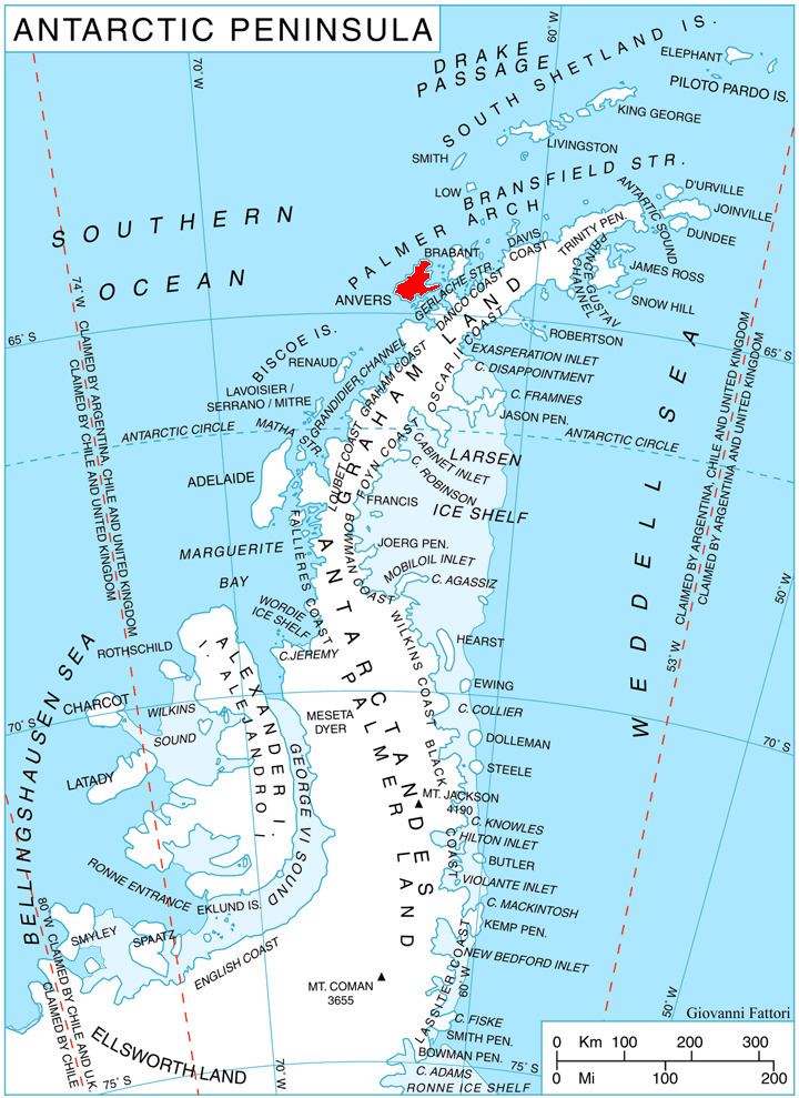
Predel Point (Bulgarian: нос Предел, ‘Nos Predel’ \'nos pre-'del) is a point on the northwest coast of Fournier Bay in Anvers Island in the Palmer Archipelago, Antarctica separating the termini of Rhesus Glacier to the north and Thamyris Glacier 4 km to the south.
Contents
The point is named after Predel Saddle between the mountains of Pirin and Rila in southwestern Bulgaria.
Location
Predel Point is located at 64°32′08″S 63°12′43″W, which is 10.72 km southwest of Dralfa Point, 15.03 km west-southwest of Andrews Point and 3.77 km north by west of Studena Point. British mapping in 1980.
Maps
References
Predel Point Wikipedia(Text) CC BY-SA