
 | ||
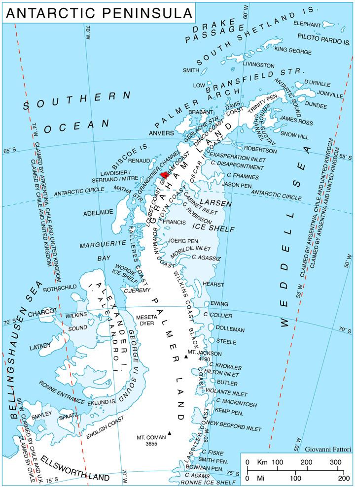
Rasnik Peak (Bulgarian: връх Расник, ‘Vrah Rasnik’ \'vr&h ras-'nik) is the sharp, partly ice-covered peak rising to 900 m at the southwest extremity of Chiren Heights on Velingrad Peninsula, Graham Coast in Graham Land, Antarctica. It has steep and partly ice-free northwest and southeast slopes, and surmounts Hugi Glacier and its tributary Caulfield Glacier to the south, and Holtedahl Bay to the west.
Contents
The peak is named after the settlement of Rasnik in Western Bulgaria.
Location
Rasnik Peak is located at 66°09′01″S 64°59′22″W, which is 17 km east of Lens Peak, 6.75 km southeast of Coblentz Peak and 9.9 km north of Ezerets Knoll. British mapping in 1976.
Maps
References
Rasnik Peak Wikipedia(Text) CC BY-SA