
 | ||
Ezerets Knoll (Bulgarian: Езерецка могила, ‘Ezeretska Mogila’ e-ze-'rets-ka mo-'gi-la) is the narrow, mostly ice-covered ridge extending 3.35 km in west-northwest to east-southeast direction, 800 m wide and rising to 900 m in the west foothills of Bruce Plateau on Graham Coast in Graham Land, Antarctica. It surmounts Hugi Glacier to the west and its tributary Rickmers Glacier to the northeast.
Contents
The knoll is named after the settlements of Ezerets in Northeastern and Southwestern Bulgaria.
Location
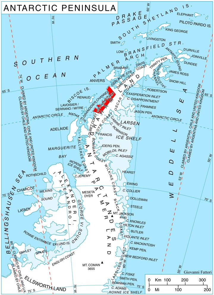
Ezerets Knoll is located at 66°14′17″S 64°57′36″W, which is 16.2 km west-northwest of Richardson Nunatak, 18 km east of Crookes Peak, 6 km southwest of Dodunekov Peak and 2.6 km southwest of Nauchene Nunatak. British mapping in 1976.
Maps
References
Ezerets Knoll Wikipedia(Text) CC BY-SA