
 | ||
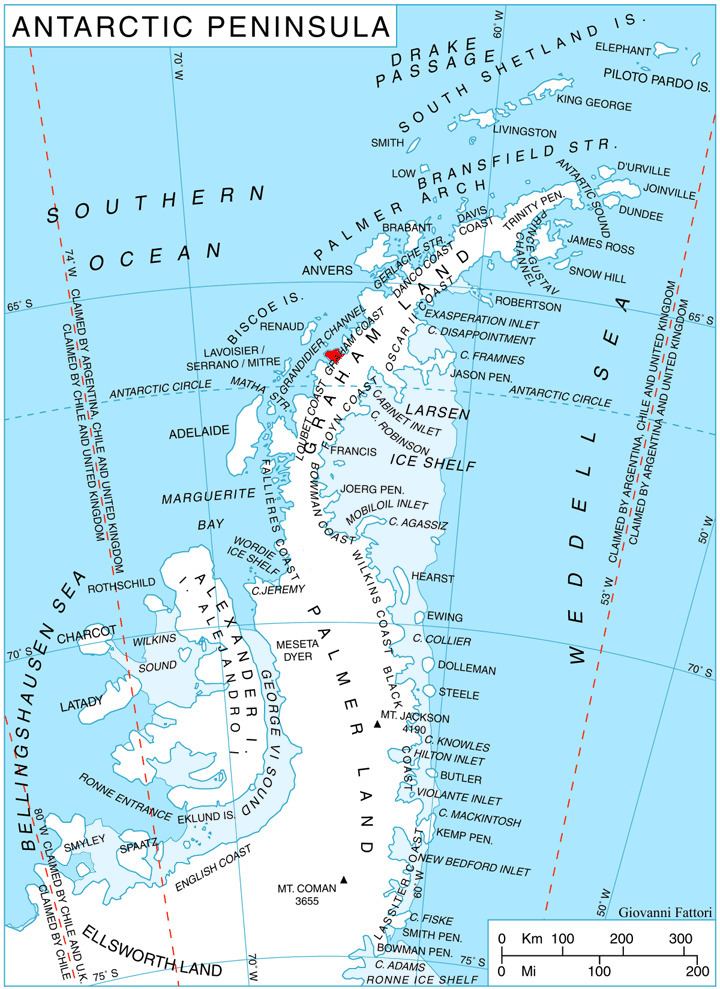
Chiren Heights (Bulgarian: Чиренски възвишения, ‘Chirenski Vazvisheniya’ \'chi-ren-ski vaz-vi-'she-ni-ya) is the ice-covered heights at the base of Velingrad Peninsula, Graham Coast on the west side of Antarctic Peninsula, extending 21 km in northeast-southwest direction between Barilari Bay and Holtedahl Bay, and 16 km wide. It is bounded by Caulfield Glacier to the south, Simler Snowfield to the west, Hoek Glacier to the northwest, Bilgeri Glacier to the north and Weir Glacier to the east. Featuring Coblentz Peak at its west extremity and Mount Zdarsky (1200 m) in its north-central part.
Contents
Map of Chiren Heights, Antarctica
The heights are named after the settlement of Chiren in Northwestern Bulgaria.
Location
Chiren Heights are centred at 66°06′35″S 64°49′30″W. British mapping in 1971.