
 | ||
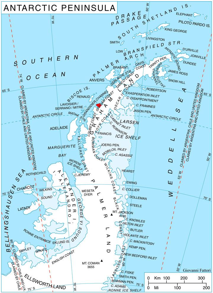
Velingrad Peninsula (Bulgarian: полуостров Велинград, ‘Poluostrov Velingrad’ po-lu-'os-trov 've-lin-grad) is the ice-covered peninsula projecting 22.5 km in northwest direction from Graham Coast on the west side of Antarctic Peninsula. Bounded by Barilari Bay to the northeast and Holtedahl Bay to the southwest, and separated from Biscoe Islands to the northwest by Grandidier Channel. Its base is surmounted by Chiren Heights. The UK station Prospect Point operated at the west extremity of the peninsula in 1957-59.
Contents
The peninsula is named after the city of Velingrad in Southern Bulgaria.
Location
Velingrad Peninsula is centred at 66°02′00″S 65°00′00″W. British mapping in 1971 and 1976.
Maps
References
Velingrad Peninsula Wikipedia(Text) CC BY-SA