
Country United States GNIS feature ID 453781 Area 77.49 km² Population 931 (2010) | ZIP codes 47909, 47955, 47981 Elevation 218 m Local time Friday 9:07 AM | |
 | ||
Weather 14°C, Wind S at 19 km/h, 71% Humidity | ||
Randolph Township is one of thirteen townships in Tippecanoe County, Indiana, United States. As of the 2010 census, its population was 931 and it contained 352 housing units.
Contents
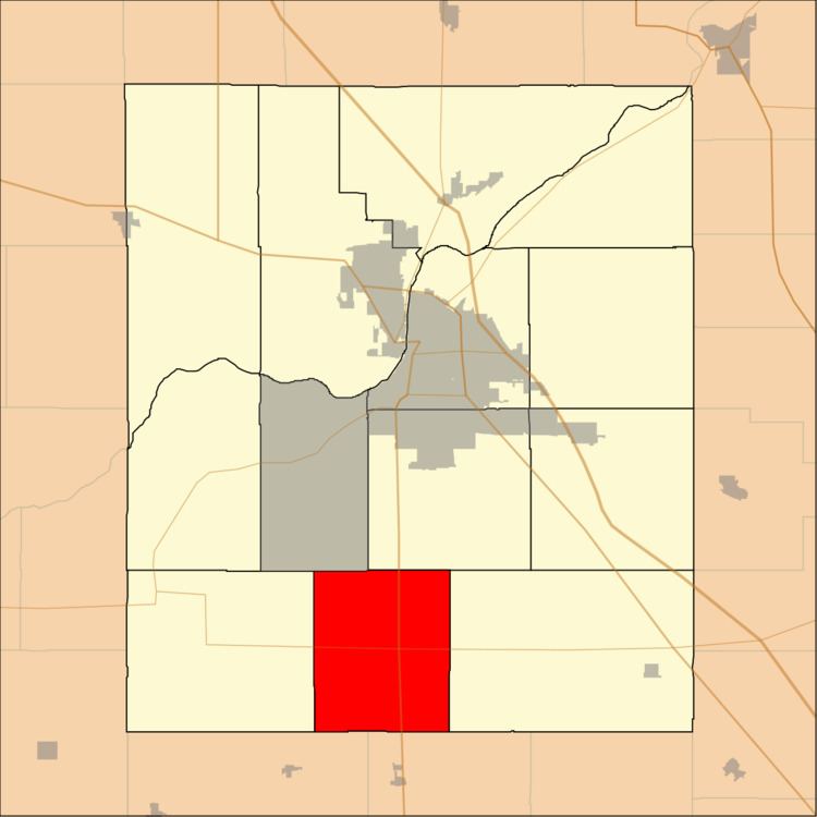
- Map of Randolph Township IN USA
- Geography
- Unincorporated towns
- Adjacent townships
- Cemeteries
- Major highways
- Airports and landing strips
- School districts
- Political districts
- References
Map of Randolph Township, IN, USA
Geography
According to the 2010 census, the township has a total area of 29.92 square miles (77.5 km2), all land.
Unincorporated towns
(This list is based on USGS data and may include former settlements.)
Adjacent townships
Cemeteries
The township contains these two cemeteries: Elmwood and Mintonye.
Major highways
Airports and landing strips
School districts
Political districts
References
Randolph Township, Tippecanoe County, Indiana Wikipedia(Text) CC BY-SA