
Country United States GNIS feature ID 454043 Area 93.4 km² Population 31,660 (2010) | ZIP codes 47905, 47909 Elevation 192 m Local time Sunday 9:41 AM | |
 | ||
Weather 14°C, Wind S at 21 km/h, 49% Humidity University Ivy Tech Community College-Lafayette | ||
Wea Township is one of thirteen townships in Tippecanoe County, Indiana, United States. As of the 2010 census, its population was 31,660 and it contained 13,022 housing units.
Contents
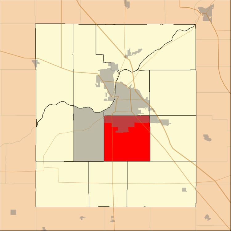
- Map of Wea Township IN USA
- Geography
- Cities towns villages
- Unincorporated towns
- Adjacent townships
- Cemeteries
- Major highways
- School districts
- Political districts
- References
Map of Wea Township, IN, USA
Geography
According to the 2010 census, the township has a total area of 36.06 square miles (93.4 km2), of which 36.04 square miles (93.3 km2) (or 99.94%) is land and 0.02 square miles (0.052 km2) (or 0.06%) is water.
Cities, towns, villages
Unincorporated towns
(This list is based on USGS data and may include former settlements.)
Adjacent townships
Cemeteries
The township contains these cemeteries: Conarroe, Fink, Kenny, Meadow View, O'Neall, Provault, Shoemaker, Sickler, Spring Grove and Wildcat.
Major highways
School districts
Political districts
References
Wea Township, Tippecanoe County, Indiana Wikipedia(Text) CC BY-SA